
Country Thailand Time zone ICT (UTC+7) Geocode 8001 Population 266,613 (2009) | Seat Nai Mueang Postal code 80000 Area 617.4 km² Province Nakhon Si Thammarat | |
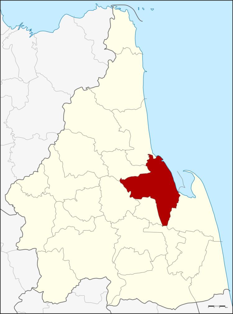 | ||
Nakhon Si Thammarat (Thai: นครศรีธรรมราช) is the capital district (Amphoe Mueang) of Nakhon Si Thammarat Province in southern Thailand.
Contents
- Map of Mueang Nakhon Si Thammarat District Nakhon Si Thammarat Thailand
- Geography
- Administration
- References
Map of Mueang Nakhon Si Thammarat District, Nakhon Si Thammarat, Thailand
Geography
Neighboring districts are (from the southeast clockwise) Pak Phanang, Chaloem Phra Kiat, Phra Phrom, Lan Saka, Phrom Khiri and Tha Sala. To the east is the Gulf of Thailand.
Administration
The district is subdivided into 16 subdistricts (tambon), which are further subdivided into 114 villages (muban).
The missing numbers 9-11 and 17 belong to communes which were split off in 1994 to form the district Phra Phrom.
Nakhon Si Thammarat itself has city status (thesaban nakhon) and covers the tambon Nai Mueang, Tha Wang, Khlang, and parts of Na Khian and Pho Sadet. There are further three townships (thesaban tambon) - Bang Chak each covering parts of the same-named tambon, Tha Phae covering parts of tambon Pak Phun, and Pak Nakhon covering parts of the tambon Tha Rai and Pak Nakhon. There are also 13 tambon administrative organizations (TAO).