
Country Thailand Postal code 26000 Area 728.1 km² | Time zone THA (UTC+7) Geocode 2601 Province Nakhon Nayok Province | |
 | ||
University Chulachomklao Royal Military Academy Points of interest Khao Yai National Park, Nang Rong Waterfall, Wang Ta Krai Waterfall, Conventional orchid, Ganesha Park | ||
Mueang Nakhon Nayok (Thai: เมืองนครนายก) is the capital district (Amphoe Mueang) of Nakhon Nayok Province, central Thailand.
Contents
- Map of Mueang Nakhon Nayok District Nakhon Nayok Thailand
- History
- Geography
- Education
- Administration
- References
Map of Mueang Nakhon Nayok District, Nakhon Nayok, Thailand
History
Mueang Nakhon Nayok is an ancient city. In the Ayutthaya kingdom it was the eastern frontier city. The historians found the old city wall on three sides, the southern side was protected by the Nakhon Nayok River as a natural city wall.
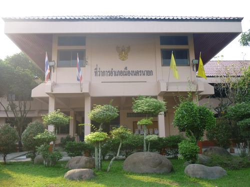
The district was called Wang Krachom as the office was located in Tambon Wang Krachom, on the left bank of the Nakhon Nayok River. In 1896 the government moved the district office to the right bank of the river. Later the office building was so old, and as the construction of a provincial court was undergone the district office was moved to the old provincial court building in 1931. A new district office was officially opened on January 18, 1953.
The district name was changed to Mueang Nakhon Nayok on January 1, 1939, to correspond with the name of the province. On January 1, 1943, the government downgraded Nakhon Nayok Province and combined it with Prachinburi Province, except Ban Na which became part of Saraburi Province. During that time the district was called Nakhon Nayok district. On May 9, 1946, the government re-established Nakhon Nayok Province, thus the district was named back to Mueang Nakhon Nayok.
Geography
Neighboring districts are (from the southwest clockwise) Ongkharak, Ban Na of Nakhon Nayok Province, Kaeng Khoi, Muak Lek of Saraburi Province, Pak Chong of Nakhon Ratchasima Province, Pak Phli of Nakhon Nayok Province again and Ban Sang of Prachinburi Province.
The Sankamphaeng Range mountainous area is located in the northern section of this district. The Nakhon Nayok River and Khlong Tha Dan are important water resources.
Education
Administration
The district is subdivided into 13 subdistricts (tambon), which are further subdivided into 125 villages (muban). The town (thesaban mueang) Nakhon Nayok covers the whole tambon Nakhon Nayok and parts of Tha Chang, Ban Yai, Wang Krachom and Phrom Ni. Tha Chang is a township (thesaban tambon) which covers parts of tambon Tha Chang. There are further 12 Tambon administrative organizations (TAO).