
Country Thailand Postal code 49000 Area 1,235 km² Province Mukdahan Province | Time zone THA (UTC+7) Geocode 4901 Population 129,351 (2008) | |
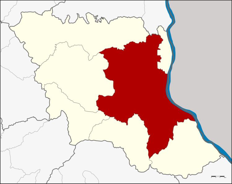 | ||
Mueang Mukdahan (Thai: เมืองมุกดาหาร) is the capital district (Amphoe Mueang) of Mukdahan Province, northeastern Thailand.
Contents
Map of Mueang Mukdahan District, Mukdahan, Thailand
Geography
Neighboring districts are (from the southeast clockwise) Don Tan, Nikhom Kham Soi, Nong Sung, Khamcha-i, Dong Luang of Mukdahan Province, That Phanom of Nakhon Phanom Province and Wan Yai of Mukdahan Province again. To the east across the Mekong river is the Laotian province of Savannakhet.
The important water resource is the Mekong river.
History
The district goes back to the Mueang Mukdahan, which was administrated within the Monthon Udon Thani. In 1907 it was made a district of Nakhon Phanom Province. On September 27 1982 the southern part of Nakhon Phanom was split off to form the new province Mukdahan, and the district Mukdahan was renamed to Mueang Mukdahan as the capital district of the new province.
Administration
The district is subdivided into 13 subdistricts (tambon), which are further subdivided into 144 villages (muban). The town (thesaban mueang) Mukdahan covers parts of tambon Mukdahan and the whole tambon Si Bun Rueang. The subdistrict municipality (thesaban tambon) Dong Yen covers the whole same-named tambon. There are further 12 Tambon administrative organizations (TAO).