
Country Thailand Postal code 52000 Area 1,157 km² Province Lampang Province | Time zone ICT (UTC+7) Geocode 5201 Population 235,092 (2008) | |
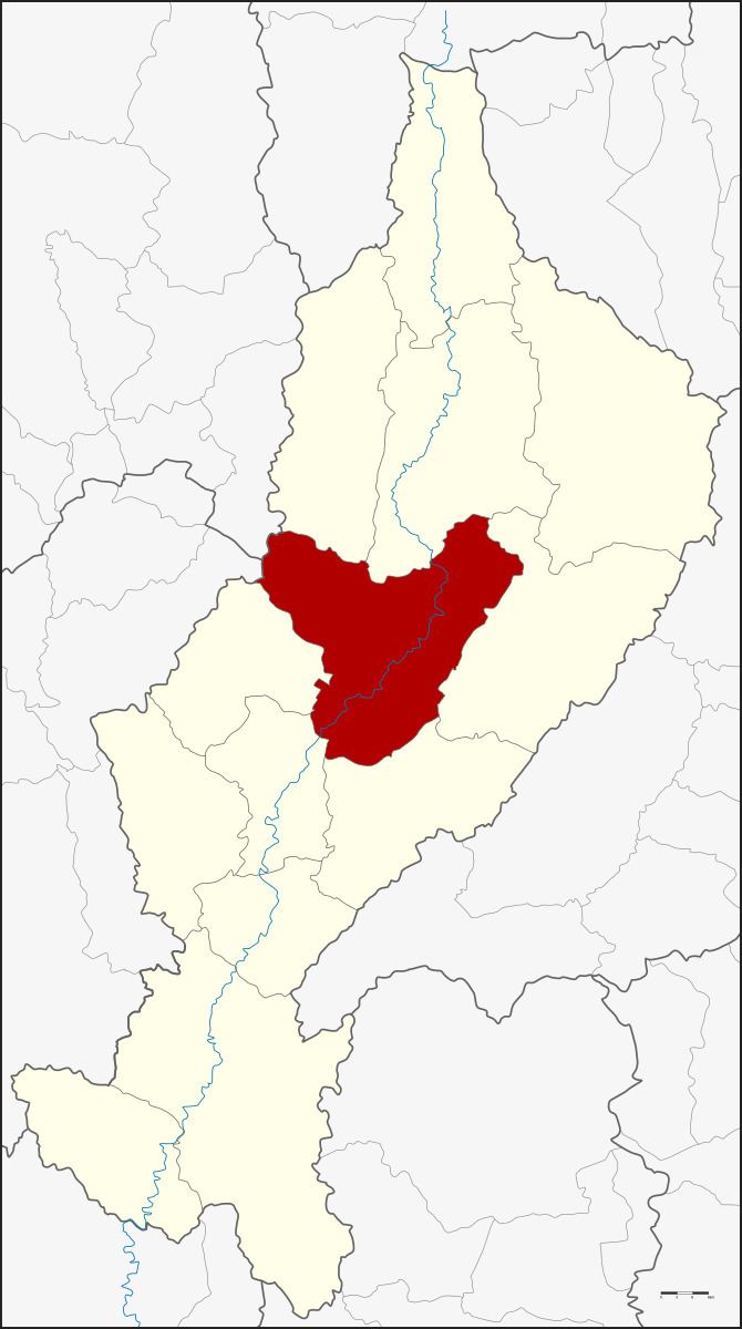 | ||
Mueang Lampang (Thai: เมืองลำปาง; [mɯ̄aŋ lām.pāːŋ]) is the capital district (amphoe mueang) of Lampang Province, northern Thailand.
Contents
Map of Mueang Lampang District, Lampang, Thailand
Geography
Neighboring districts are (from the north clockwise): Mueang Pan, Chae Hom, Mae Mo, Mae Tha, Ko Kha and Hang Chat of Lampang Province, Mae Tha of Lamphun Province, and Mae On of Chiang Mai Province.
The Khun Tan Range rises in the west and the Phi Pan Nam Range in the east of the district.
History
In 1917 the district was renamed from Mueang to Mueang Lampang.
Administration
The district is divided into 19 sub-districts (tambon), which are further subdivided into 180 villages (muban). Lampang is a city (thesaban nakhon) covering the tambon Wiang Nuea, Suan Dok, Sop Tui and parts of tambon Hua Wiang, Phichai, Chomphu, Phrabat and Bo Haeo. The town (thesaban mueang) Khelang Nakhon covers the tambon Kluai Phae and Pong Saen Thong, and parts of tambon Phrabat and Chomphu. There are two more sub-district municipalities (thesaban tambon) - Bo Haeo and Phichai each cover parts of the same-named tambon. There are a further 11 tambon administrative organizations (TAO).