
Country Thailand Time zone THA (UTC+7) Geocode 4001 Population 396,510 (2013) | Seat Nai Mueang Postal code 40000 Area 953.4 km² Province Khon Kaen | |
 | ||
Mueang Khon Kaen (Thai: เมืองขอนแก่น, [mɯ̄a̯ŋ kʰɔ̌(ː)n kɛ̀n]) is the capital district (Amphoe Mueang) of Khon Kaen Province, northeastern Thailand.
Contents
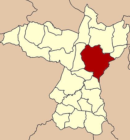
Map of Mueang Khon Kaen District, Khon Kaen, Thailand
Geography
Neighboring districts are (from the south clockwise) Ban Haet, Phra Yuen, Ban Fang, Ubolratana, Nam Phong, Sam Sung of Khon Kaen Province, Kosum Phisai and Chiang Yuen of Maha Sarakham Province.
History
In 1917, the district was renamed from Mueang to Phra Lap (พระลับ). In 1937 it was renamed to Mueang Khon Kaen.
Administration
The district is subdivided into 17 subdistricts (tambon), which are further subdivided into 272 villages (muban). The city (thesaban nakhon) Khon Kaen covers the whole tambon Nai Mueang. Tha Phra is a subdistrict municipality (thesaban tambon) covering parts of tambon Tha Phra. There are further 16 Tambon administrative organizations (TAO).