
Country Thailand Postal code 57000 Area 1,216 km² | Time zone ICT (UTC+7) Geocode 5701 Province Chiang Rai | |
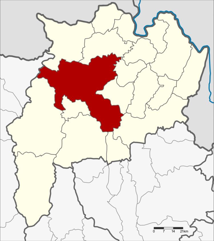 | ||
Mueang Chiang Rai (Thai: เมืองเชียงราย; [mɯ̄aŋ tɕʰīaŋ rāːj], Lanna: mɯaŋ.tɕiaŋ.haaj) is the capital district (amphoe mueang) of Chiang Rai Province, northern Thailand.
Contents
Map of Mueang Chiang Rai District, Chiang Rai, Thailand
Geography
Neighboring districts are (from the northwest clockwise) Mae Fa Luang, Mae Chan, Wiang Chiang Rung, Wiang Chai, Thoeng, Pa Daet, Phan, Mae Lao, Mae Suai of Chiang Rai Province and Mae Ai of Chiang Mai Province.
The Phi Pan Nam Mountains dominate the landscape of the southern side of the district. The Kok River is an important water resource.
Administration
The district is subdivided into 16 subdistricts (tambon), which are further subdivided into 256 villages (muban). The city (thesaban nakhon) Chiang Rai covers the whole tambon Wiang and parts of Rop Wiang, San Sai and Rum Kok. The township (thesaban tambon) San Sai covers parts of tambon San Sai, and Ban Du the whole tambon Ban Du. There are further 14 Tambon administrative organizations (TAO).