
Country Thailand Tambon 11 Time zone ICT (UTC+7) Area 253.1 km² Province Chanthaburi Province | Seat Wat Mai Muban 98 Postal code 22000 Population 125,924 (2013) | |
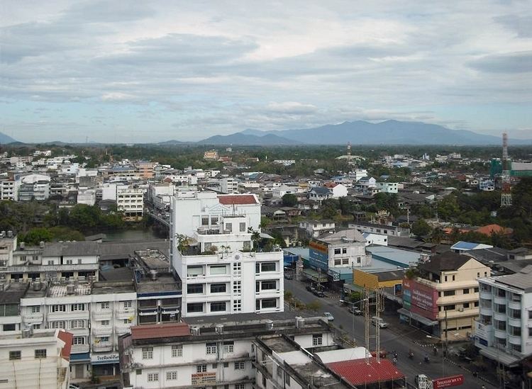 | ||
Mueang Chanthaburi (Thai: เมืองจันทบุรี, [mɯ̄aŋ t͡ɕān.tʰáʔ.bū.rīː]) is the capital district (amphoe mueang) of Chanthaburi Province, eastern Thailand.
Contents
- Map of Mueang Chanthaburi District Chanthaburi Thailand
- Geography
- Central administration
- Local administration
- References
Map of Mueang Chanthaburi District, Chanthaburi, Thailand
Geography
Neighboring districts are (from the north clockwise) Khao Khitchakut, Makham, Khlung, Laem Sing and Tha Mai of Chanthaburi Province.
Central administration
The district Mueang Chanthaburi is subdivided into 11 subdistricts (tambon), which are further subdivided into 98 administrative villages (muban).
Local administration
There are 3 towns (thesaban mueang) in the district:
There are 7 subdistrict municipalities (thesaban tambon) in the district:
There are 4 subdistrict administrative organizations (SAO) in the district:
References
Mueang Chanthaburi District Wikipedia(Text) CC BY-SA