
Country Thailand Time zone ICT (UTC+7) Geocode 1801 Population 72,031 (2008) | Seat Nai Mueang Postal code 17000 Area 255.4 km² Province Chai Nat Province | |
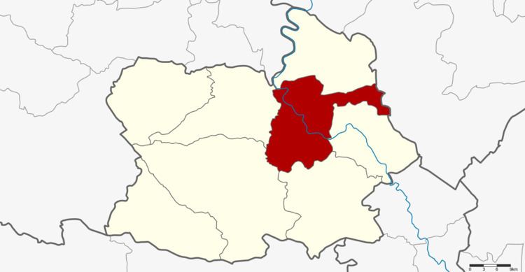 | ||
Mueang Chai Nat (Thai: เมืองชัยนาท) is the capital district (amphoe mueang) of Chai Nat Province, central Thailand.
Contents
Map of Mueang Chai Nat District, Chai Nat, Thailand
Geography
Neighbouring districts are (from the east clockwise) Sapphaya, Sankhaburi, Hankha, Wat Sing, Manorom of Chai Nat Province and Takhli of Nakhon Sawan Province.
History
In 1917 the district was renamed from Mueang to Ban Kluai (บ้านกล้วย). In 1938 it got the name Mueang Chai Nat.
Administration
The district is divided into nine sub-districts (tambon), which are further subdivided into 81 villages (muban). Chai Nat is a town (thesaban mueang) which covers the whole tambon Nai Mueang and parts of Ban Kluai, Tha Chai and Khao Tha Phra. There are a further eight Tambon administrative organizations (TAO).
References
Mueang Chai Nat District Wikipedia(Text) CC BY-SA