
Country Thailand Time zone ICT (UTC+7) Geocode 3701 Population 128,992 (2008) | Seat Bung Postal code 37000 Area 598.8 km² Province Amnat Charoen Province | |
 | ||
Mueang Amnat Charoen (Thai: เมืองอำนาจเจริญ, [mɯ̄a̯ŋ ʔām.nâːt t͡ɕā.rɤ̄ːn]) is the capital district (amphoe mueang) of Amnat Charoen Province, northeastern Thailand.
Contents
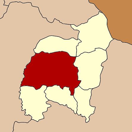
Map of Mueang Amnat Charoen District, Amnat Charoen, Thailand
History
Originally Amnat Charoen was a Mueang under Mueang Khemarat. In the thesaphiban administrative reforms around 1900 it was reassigned to Ubon Ratchathani and converted into a district. It was later named Bung after the central tambon. In 1939 it was renamed to Amnat Charoen. In 1993 the new province Amnat Charoen was created, and the district was then renamed to Mueang Amnat Charoen.
Geography
Neighboring districts are (from the north clockwise) Senangkhanikhom, Pathum Ratchawongsa, Phana, Lue Amnat and Hua Taphan of Amnat Charoen Province, and Pa Tio and Thai Charoen of Yasothon Province.
Administration
The district is divided into 19 subdistricts (tambon), which are further subdivided into 213 villages (muban). The town (thesaban mueang) Amnat Charoen covers parts of the tambon Bung. Nam Plik is a subdistrict municipality (thesaban tambon) which covers parts of the same-named tambon. Na Wong, Na Mo Ma and Na Yom are subdistrict municipalities which cover the full same-named subdistrict. There are further 16 tambon administrative organizations (TAO).