
Country India District Krishna PIN 521 325 Elevation 7 m Local time Tuesday 9:33 AM | State Andhra Pradesh Time zone IST (UTC+5:30) Telephone code +91–8674 Population 6,463 (2011) | |
 | ||
Weather 31°C, Wind S at 3 km/h, 66% Humidity | ||
Mudinepalli is a village in Krishna district of the Indian state of Andhra Pradesh.
Contents
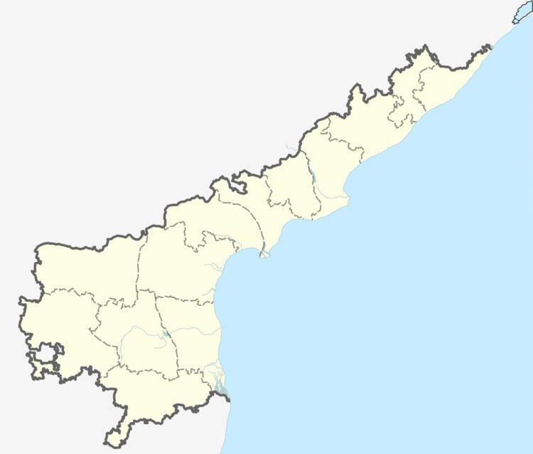
- Map of Mudinepalli Andhra Pradesh 521325
- Geography
- Demographics
- Etymology
- Education
- Transportation
- References
Map of Mudinepalli, Andhra Pradesh 521325
Geography
Mudinepalli is located at 16.4000°N 81.1167°E / 16.4000; 81.1167. It has an average elevation of 7 metres (26 feet).
Demographics
As of 2011 Census of India, the town had a population of 6,463. The total population constitute, 3,280 males, 3,183 females and 543 children, in the age group of 0–6 years. The average literacy rate stands at 77.85% with 4,608 literates, significantly higher than the national average of 73.00%.
Etymology
Mudinepalli was known as Mudi Naagula Palli in earlier days. 'Mudi' means old, Naaga means snake (cobra), Naaga Devatha, A Hindu Goddess, Palli means village. Mudinepalli in its olden days had seen all most all the species of snakes, which can survive in the southern part of India.
Education
It is the place where the first English Medium School Little Flower School in Krishna District is established in 1968 by his honor late Sri B.S.S.S.Prasada Rao garu.
The first Govt.Jr.College in Mudinepalli Mandal is established in 1997.
Transportation
This is very well connected by the National Highway 214 and the State Highways. Frequent transportation facility is available to Vijayawada, Machilipatnam, Bhimavaram and Tirupathi. There are numerous buses to Hyderabad and Visakhapatnam which passes through.