District Anantapur Talukas Mudigubba Elevation 395 m | Founded by unknown Time zone IST (UTC+5:30) Local time Tuesday 9:32 AM | |
 | ||
Weather 31°C, Wind S at 8 km/h, 54% Humidity | ||
Mudigubba is a village and a mandal in Anantapur district in the state of Andhra Pradesh in India. Its one of the biggest mandal in andhra pradesh.
Contents
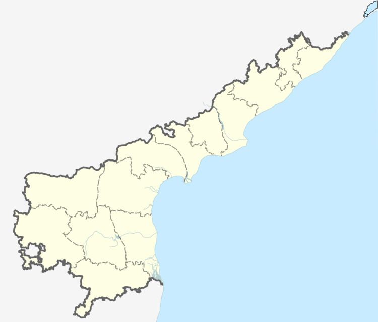
Map of Mudigubba, Andhra Pradesh 515511
Geography
Mudigubba is located at 14.3333°N 77.9833°E / 14.3333; 77.9833. It has an average elevation of 395 metres (1299 ft)
HISTORY
According local sources MUDIGUBBA TOWN was founded during vijayanagara empire.now we see the evidence of these in the form of old building ruins which are present on the southeast side of present Mudigubba town.because of negligence these structures are ruined so badly,now people are practicing agriculture on these remainings.
LEGEND IS THAT WHEN THE OFFFICERS OF VIJAYA NAGARA EMPIRE WHO ARE DEMARCATING THE BOUNDARIES OF THE VILLAGE,FOUND THAT THE BULLOCK CART IN WHICH THEY ARE TRAVELLING TO DECIDE BOUNDARIES WAS CARRIED BY OXENS WITHOUT ANY PAGGAMS.(PAGGAMS ARE THE ARTICLES/OBJECTS WHICH ARE USED TO TIE THE OXENS NECK WITH BULLOCK CARTS WHICH KEEPS THE BULLOCK CARTS ON OXEN NECKS).THESE PAGGAMS ARE NECESSARY FOR PROPER TRAVEL IN THE BULLOCK CARTS.SO THEY STOPPED THEIR CART ABRUPTLY.IT IS EVIDENT FROM PRESENT BOUNDARIES(polimera in local language).ON ONE SIDE OF THE VILLAGE,VILLAGE BOUNDARY(polimera) IS EXTENT UPTO SEVERAL KILOMETRES,ON THE OTHER SIDE IT ENDS ABRUPTLY.NOW WE SEE A SMALL STONE named AS "BODDU RAI" IN THE OLD TOWN OF MUDIGUBBA NEAR SRI PEDDAMMA TEMPLE.IT IS THE PLACE WHERE ROYAL OFFICERS STOPPED THEIR CART SUDDENLY AFTER NOTICING LACK OF PAGGAM IN OXENS NECK.
Demographics
According to Indian census, 2001 the demographic details of Mudigubba mandal is as follows:
Panchayats
The following is the list of village panchayats in Mudigubba mandal.
Transport-
IT is well connected by road and rail routes..Frequent bus facities are available to Anatapuram,Tirupati,Chennai,Hyderabad.
Mudigubba is on the NATIONAL HIGHWAY 205 which interlinks NH44 to CHENNAI HIGHWAY which starts from BANGALORE.
Mudigubba falls on the Guntakal - Tirupati Broadgauge line.
