Supriya Ghosh (Editor)

Mu Ko Phetra National Park

Updated on
Edit
Like
Comment
Share on FacebookTweet on TwitterShare on LinkedInShare on Reddit
Area
  
494.4 km²

Established
  
1984

Mu Ko Phetra National Park wwwthailandwanderercomwpcontentuploads20130

Location
  
Trang Province and Satun Province, Thailand

Mu ko ang thong best angthong national marine park


Mu Ko Phetra is a marine national park in the Strait of Malacca off Thailand, covering mostly intact coastal line, open water, and about 30 islands of the southern part of Trang Province and the northern part of Satun Province. Established on 31 December 1984, it is the 49th national park and 14th marine national park of Thailand.

Contents

Mu Ko Phetra National Park The astonishing Mu Ko Phetra National Park Thailand Travel Guides

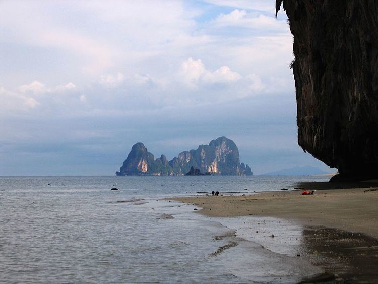
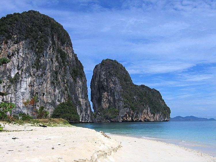
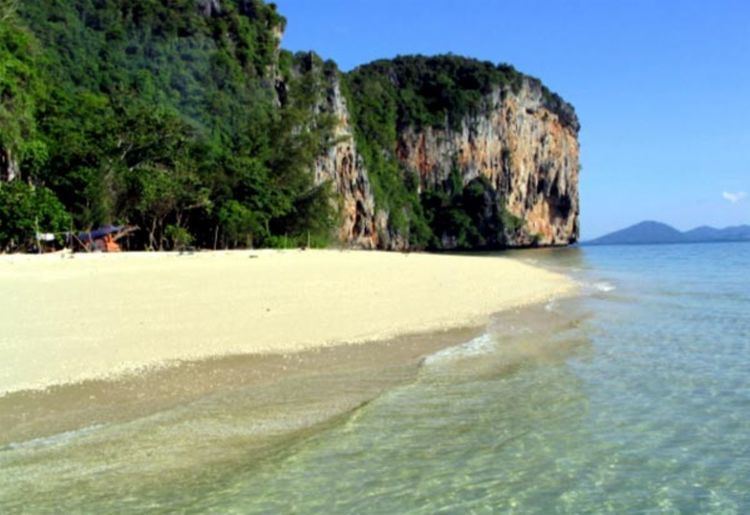
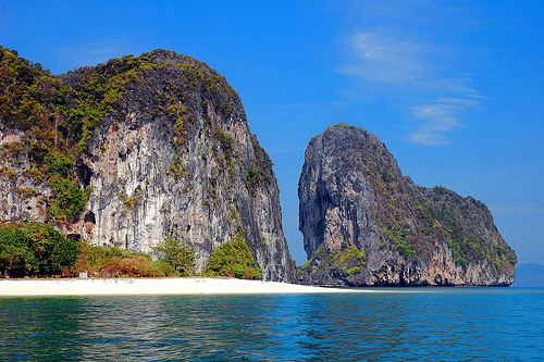
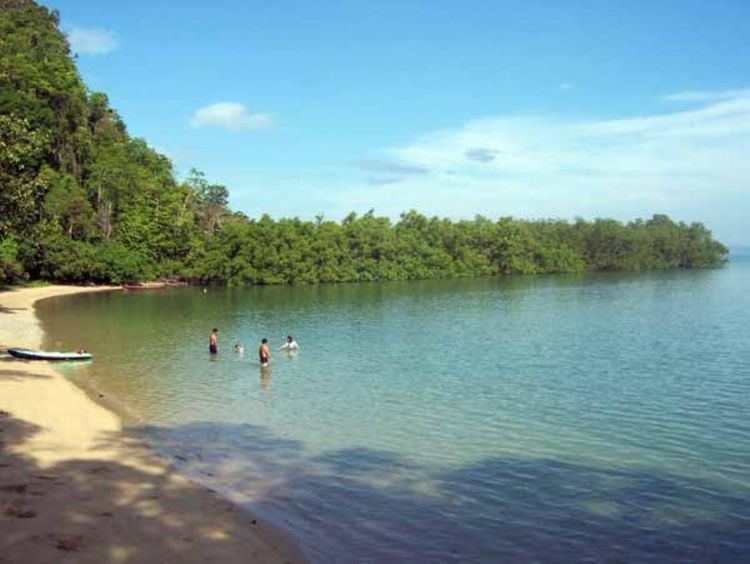
The majority of the park, about 94.74% or 468.38 km² out of 494.38 km² is open water. The two largest islands of the park are Ko Phetra (Thai: เกาะเภตรา) and Ko Khao Yai (Thai: เกาะเขาใหญ่). Several islands are marine turtle egg laying sites. Rich coral reefs are present around islands. Many of the islands consist of steep limestone rocks and little beaches. They are used as temporary refuges by fishermen during fishing season.

Mu Ko Phetra National Park SEAFARER DIVERS Thailand Phuket PADI amp CMAS pro dive training

In the caves of the cliffs high above the ground on some of the islands are where swiftlets build their nest and breed. Several islands were placed under concession for decades to collect bird nests. They are highly valuable and closely guarded with firearms. Traveling to those islands should be done with local tour companies as their boats are recognized and ignored by guards.

Mu Ko Phetra National Park kolaoliang

The name Phetra is a Thai corruption of its original Malay name, Pulau Petra (the island of Petra).

The continued existence of the park is threatened by the proposed Pak Bara deepwater seaport.

Trang islandsEdit

Mu Ko Phetra National Park SEAFARER DIVERS Thailand Phuket PADI amp CMAS pro dive training

  • Ko Lao Liang consists of two similar islands separated by just 300 m. The smaller, northernmost island, Ko Lao Liang Nuea (Thai: เกาะเหลาเหลียงเหนือ) (also known as Ko Lao Liang Nong; Thai: เกาะเหลาเหลียงน้อง), and the larger island to the south, Ko Lao Liang Tai (Thai: เกาะเหลาเหลียงใต้) (also known as Ko Lao Liang Phi; Thai: เกาะเหลาเหลียงพี่). Both have rather small beaches and are bird nest gathering concessions. Around the islands are shallow reefs.
  • Satun islandsEdit


  • Ko Phetra (Thai: เกาะเภตรา / Malay: Pulau Petra) is an island with odd-shaped cliffs. A bird nest concession island, the surrounding sea is available for diving.
  • Ko Lidi (Thai: เกาะลิดี / Malay: Pulau Lidi) is a large island with beach.
  • Ko Khao Yai (Thai: เกาะเขาใหญ่), the biggest island with castle-like limestone rocks. Part of the island is the Ao Kam Poo (Thai: อ่าวก้ามปู), a 700 m wide bay with waterfall and stream. The shores of the bay are a turtle egg-laying sites.
  • Ko Bulon (Thai: เกาะบุโหลน / Malay: Pulau Bulan), a popular tourist island with clear water and coral reef.
  • Satun beachesEdit

    Mu Ko Phetra National Park New York Accommodations over a Small Budget

  • Rawai Beach (Thai: หาดราไว), not to be confused with a beach of the same name in Phuket Province, is a 3.5 km long beach on the mainland. It is popular camping spot.
  • References

    Mu Ko Phetra National Park Wikipedia