
Elevation AMSL 2,398 ft / 731 m 4,600 1,400 Elevation 731 m | 12/30 4,600 1,400 Unpaved | |
 | ||
Mtito Andei Airport is an airport in Kenya.
Contents
Location
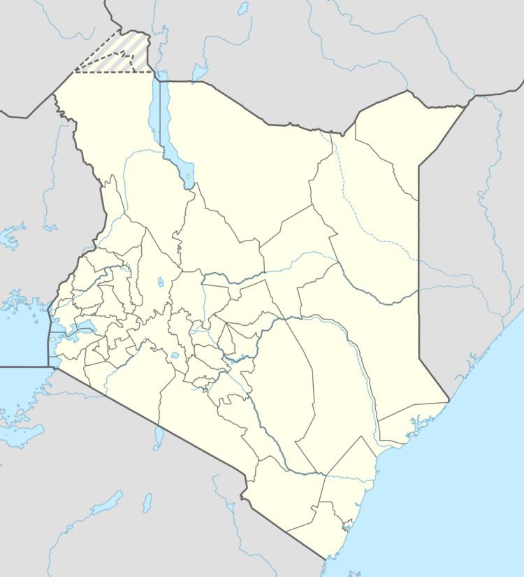
The airport, (IATA: n/a, ICAO: HKMT) is located in Makueni County, in the town of Mtito Andei, in southeastern Kenya, close to the International border with the Republic of Tanzania. The airport lies at the edge of Tsavo East National Park.
Its location is approximately 221 kilometres (137 mi), by air, southeast of Nairobi International Airport, the country’s largest civilian airport. The geographic coordinates of this airport are:2° 42' 0.00"N, 38° 10' 27.00"E (Latitude:-2.700000; Longitude:38.174166).
Overview
Mtito Andei Airport is a small airport that serves the town of Mtito Andei and the adjacent Tsavo National Park. At the moment, there is no scheduled airline service to this airport. Situated 731 metres (2,398 ft) above sea level, the airport has a single unpaved runway that measures 1,400 metres (4,600 ft) in length.
Airlines and destinations
At the moment there are no regular, scheduled airline services to Mtito Airport.