
Length 250 km Basin area 2,600 km² | Basin area 2,600 km² Source elevation 1,500 m Source Baziya Range | |
 | ||
- location | ||
Norwood flooded as mthatha river bursts its banks
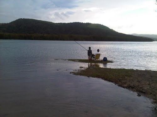
Mthatha River or Umtata River (Xhosa: 'mtathe Bawo) is a river in the Eastern Cape Province in South Africa. The river flows into the Indian Ocean in an estuary located near Coffee Bay. The Mthatha river flows in a southeastern direction and is approximately 250 km long with a catchment area of 2,600 km². It is named after Mthatha Town (Umtata).
Contents
Its main tributaries are the Ngqungqu River and the Cicira River.
The Mthatha River marks the southern limit of the Pondoland region.
Dams
Presently this river is part of the Mzimvubu to Keiskamma Water Management Area.
References
Mthatha River Wikipedia(Text) CC BY-SA