
Impounds Zambezi River Installed capacity 1,500 MW Surface area 97 km² | Type of dam Concrete gravity Maximum length 60 km (37 mi) Height 103 m Impound Zambezi | |
 | ||
Similar Cahora Bassa Dam, Kafue Gorge Upper Po, Batoka Gorge Hydroele, Itezhi‑Tezhi Dam, Kariba Dam | ||
We fear the unknown future testimonies of mphanda nkuwa dam affected
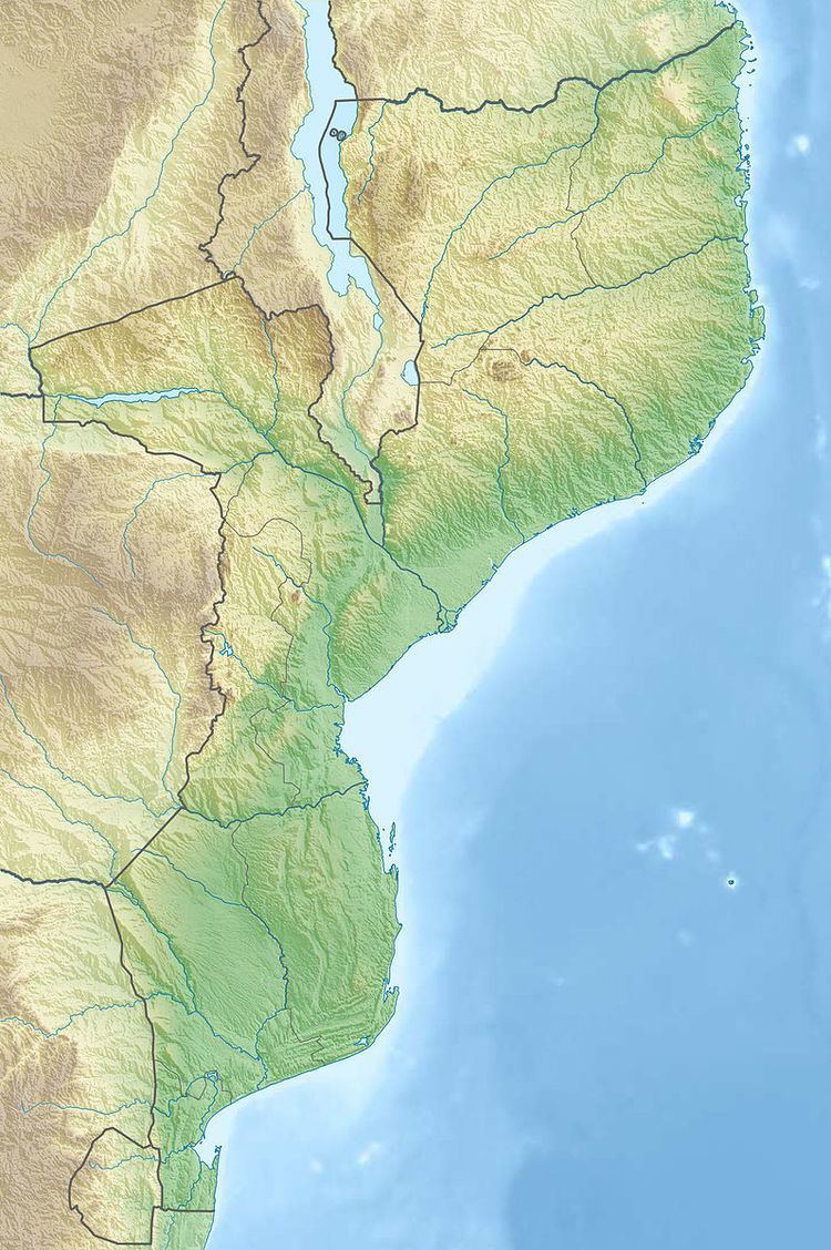
Mphanda Nkuwa Dam is a proposed hydroelectric dam on the Zambezi River in Mozambique. The dam would be located about 60 kilometres (37 mi) downstream of the existing Cahora Bassa Dam near the city of Tete. Its power station would have a capacity of 1,500 megawatts.
The dam would be 103 metres (338 ft) high and flood approximately 97 square kilometres (24,000 acres) of the Zambezi valley. The estimated cost of the project is $2 billion. Once the dam is completed, it is expected that most of the generated power will be sold to South Africa, because of the lack of transmission infrastructure in Mozambique.
The proposed dam is highly controversial because it would force the relocation of 1,400 families, and affect the livelihoods of a further 200,000 people downriver. Because the dam would be operated on a peaking basis, large daily fluctuations in river flow would ruin existing irrigation systems and affect aquaculture in the river's extensive delta. The United Nations has described this project as the "least environmentally acceptable major dam project in Africa."