
Elevation 820 m | Local time Monday 9:48 PM | |
 | ||
Weather 21°C, Wind NE at 6 km/h, 69% Humidity | ||
Moyo, is the main municipal, administrative, and commercial center of Moyo District in the Northern Region of Uganda. The district headquarters are located here.
Contents
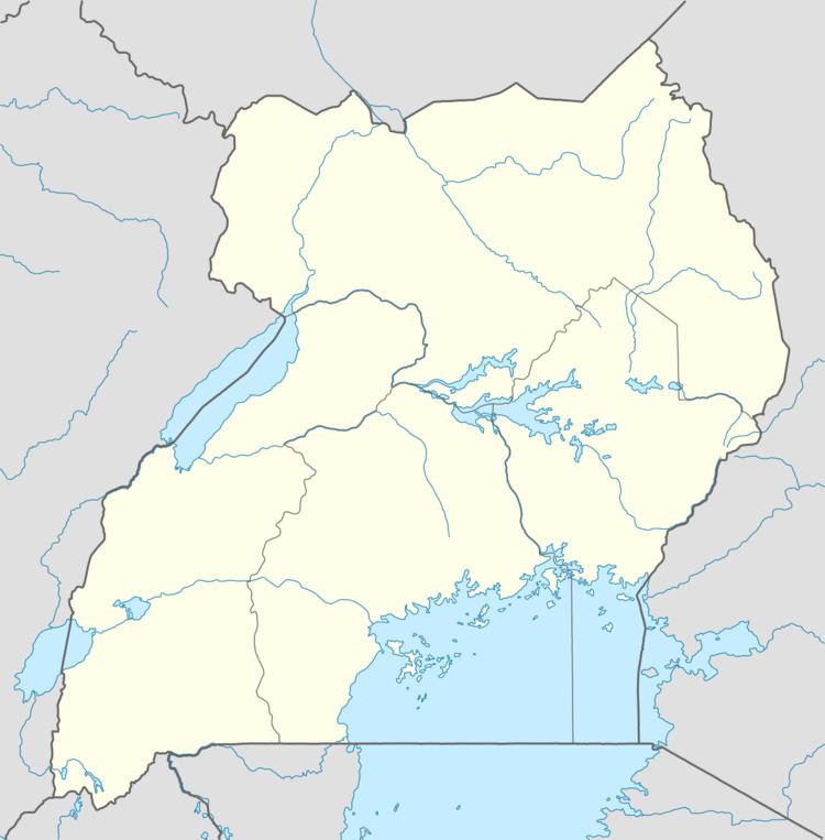
Map of Moyo, Uganda
Location
Moyo is located approximately 151 kilometres (94 mi), by road, north-east of Arua, the nearest large town. This is about 146 kilometres (91 mi) north-west of Gulu, the largest city in northern Uganda. Moyo lies approximately 478 kilometres (297 mi) northwest of Kampala, the capital and largest city of Uganda. The coordinates of Moyo Town are 3°39'18.0"N, 31°43'12.0"E (Latitude:3.654989; Longitude:31.720006).
Population
The 2002 national census estimated the population of Moyo at 12,070. In 2010, the Uganda Bureau of Statistics (UBOS) estimated the population at 22,000. In 2011, UBOS estimated the mid-year population at 23,700.
Landmarks
The following landmarks are located in Moyo Town or close to the town limits:
Other points of interest
Other points of interest in or near Moyo, include the following: