
Sovereign state United Kingdom Website www.moyle-council.org Catholic population 59.6% | Area 480 km² Protestant population 37% Province Ulster | |
 | ||
Councillors MPsIan Paisley, Jr. (DUP) Points of interest Giant's Causeway, Carrick‑a‑Rede Rope Bridge, Trostan, Old Bushmills Distillery, causeway coastal route Destinations Ballycastle, Bushmills, Rathlin Island, Cushendall, Ballintoy | ||
Moyle District Council was a Local Council in County Antrim in the northeast of Northern Ireland. It merged with Ballymoney Borough Council, Coleraine Borough Council and Limavady Borough Council in May 2015 under local government reorganisation to become Causeway Coast and Glens District Council.
Contents
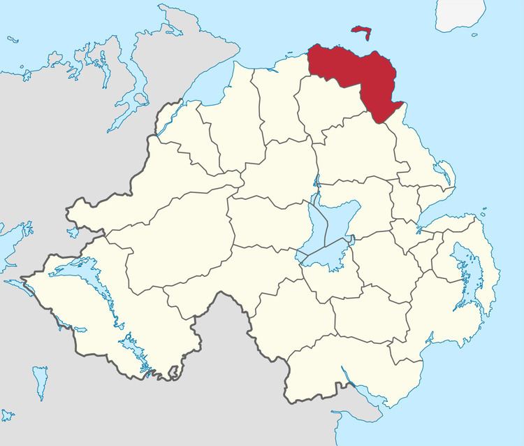
Map of Moyle, UK
It covered a largely rural area of approximately 190 square miles (including 42 miles of coastline) and with a population of just over 17,000 had the smallest population of any principal local council in Ireland and the second-smallest in the United Kingdom, after the Isles of Scilly.
As a consequence, in 1991 the local government boundary commission originally recommended that the council should be merged with the neighbouring Ballymoney council to create a new council called "Dalriada". This was strongly opposed by both councils and also by Ballymena which would have gained the Glens of Antrim and a small part of Ballymoney council in the process. After a public enquiry the plans were shelved and Moyle was preserved.
Council headquarters were in Ballycastle. Other towns in the area included Bushmills (home to the world's oldest licensed distillery which has produced the famous Irish whiskey "Bushmills" since 1608), Ballintoy, Armoy, Cushendall, Cushendun and Waterfoot. The area is very popular with tourists and includes the three best known features of Northern Ireland: the Giant's Causeway (a World Heritage Site), the Glens of Antrim and Rathlin Island, which lies 7 miles off Ballycastle.
The Council was composed of 15 councillors who were elected from three electoral areas (Ballycastle, Giant's Causeway and The Glens) every four years by a system of proportional representation.
Most of the former council forms the North Antrim constituency (together with the neighbouring former Local Council areas of Ballymena and Ballymoney), for elections to the Westminster Parliament and Northern Ireland Assembly. The exception is the Glens of Antrim area, most of which is part of the East Antrim constituency. The council was a majority Catholic enclave in the otherwise Protestant County Antrim.
2011 Election results
An Independent elected in the 2011 elections joined Sinn Féin in May 2012.
Review of Public Administration
Under the Review of Public Administration (RPA) the Council was due to merge with Coleraine Borough Council, Limavady Borough Council and Ballymoney Borough Council in 2011 to form Causeway Coast and Glens District, a single council for the enlarged area totalling 1,796 km2 (693 sq mi) and a population of 131,564. The next election was due to take place in May 2009, but on 25 April 2008, Shaun Woodward, Secretary of State for Northern Ireland announced that the scheduled 2009 district council elections were to be postponed until 2011. The merger with Coleraine, Limavady and Ballymoney councils was confirmed in September 2011 and will take effect in 2015.
Population
The area covered by Moyle District Council has a population of 17,050 residents according to the 2011 Northern Ireland census.