Puneet Varma (Editor)

Mousouroi

Updated on
Edit
Like
Comment
Share on FacebookTweet on TwitterShare on LinkedInShare on Reddit
Country
  
Greece

Postal code
  
730 05

Website
  
Mousouroi Website

Area code
  
28210

Administrative region
  
Crete

Time zone
  
EET (UTC+2)

Vehicle registration
  
ΧΝ, XB

Local time
  
Monday 3:44 PM

Municipality
  
Platanias

Regional unit
  
Chania

Mousouroi

Weather
  
21°C, Wind NW at 37 km/h, 65% Humidity

Mousouroi (Greek: Μουσούροι) is a former municipality in the Chania regional unit, Crete, Greece. Since the 2011 local government reform it is part of the municipality Platanias, of which it is a municipal unit. The municipal unit has an area of 191.744 km2 (74.033 sq mi). It was part of the former Kydonia Province. The municipal unit extends from the hinterland of the town of Chania to the mountains of south Crete. Many tourists pass through Mousouroi on their way to Omalos and the start of the Samaria Gorge walk, which is in Mousouroi. Mousouroi is bordered by Voukolies in the southwest, Platanias in the northwest, Theriso to the east and East Selino in the southwest with Sfakia in the southeast.

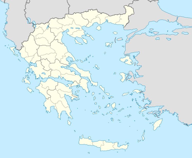
Map of Mousouroi 730 05, Greece

The municipal unit includes;

  • Alikianos: Population 825, Area: 5,302km2. The administrative centre, in the northeast
  • Koufos: Population: 149, Area: 3,369km2. Just north of Alikianos
  • Psathogiannos: Population: 159, Area: 3,599km2. Northwest.
  • Fournes: Population: 576, Area: 9,804km2. South of Alikianos, on the road to Omalos.
  • Skines: Population: 621, Area: 8,228km2. South of Alikianos, on the road to Sougia.
  • Sebronas (Sempronas, Σέμπρωνας): Population: 92, Area: 14,331km2. West of the Sougia road, south of Prases
  • Prases: Population: 138, Area: 27,511km2. South of Alikianos on the Sougia road, before the Omalos turn off
  • Orthouni: Population: 94, Area: 20,634km2. South of Alikianos between the Omalos and Sougia roads
  • Meskla: Population: 353, Area: 22,435km2. Eastern Mousouroi, southeast of Alikianos, northeast of Omalos, east of the Omalos road
  • Lakkoi: Population: 270, Area: 55,573km2. South of Alikianos on the road to Omalos, south of Fournes
  • Karanos (Καράνος): Population: 88, Area: 5,777km2. South of Alikianos between Skines and Lakki, north of the Omalos road on a windy mountainous road joining the latter to the Sougia road
  • Vatolakos: Population: 661, Area: 15,181km2. West of Alikianos, on the road to Skonizo
  • References

    Mousouroi Wikipedia