
Time zone AZT (UTC+4) Elevation 703 m Population 351 (2015) | Website www.mushkapat.com Area 86,600 km² Rayon Khojavend District | |
 | ||
Country De jure Azerbaijan
De facto Nagorno-Karabakh Rayon
Province Khojavend
Martuni Province Weather 12°C, Wind NE at 10 km/h, 53% Humidity | ||
Müşkapat (Armenian: Մուշկապատ, also Moushkapat and Mushkapat) with a latitude of 39.77(39°46′17 N) and a longitude of 46.98(46°58′6 E), is a populated place located in Khojavend Rayon region of Azerbaijan that is a part of Asia.
Contents
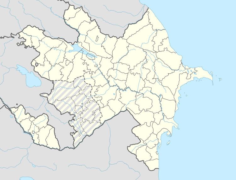
Map of Mushkapat
Location placement
Mushkapat is situated 65 kilometers south west (205°) of the approximate center of Azerbaijan and 256 kilometers west (255°) of capital Baku.
References
Moushkapat Wikipedia(Text) CC BY-SA