
Area 958.5 km² Region Alentejo | Subregion Baixo Alentejo Parishes 8 Population 15,167 (2011) Local time Monday 1:07 PM | |
 | ||
Weather 14°C, Wind NW at 16 km/h, 76% Humidity | ||
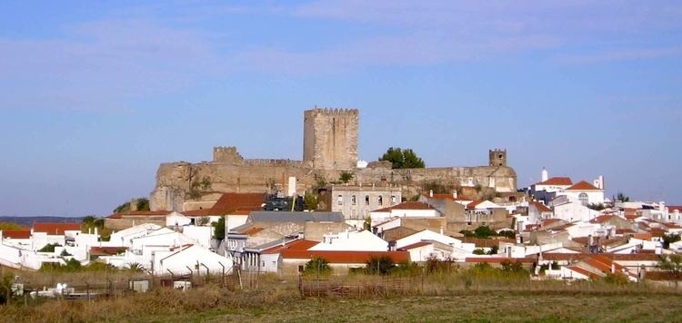
Moura ([ˈmowɾɐ]) is a city and a municipality in the District of Beja in Portugal. The population in 2011 was 15,167, in an area of 958.46 km². The city itself had a population of 8,459 in 2001.
Contents
Map of Moura, Portugal
The current Mayor is José Pós de Mina, elected by the Unitarian Democratic Coalition. The municipal holiday is 24 June.
It is home to Moura Photovoltaic Power Station, one of Europe's largest solar-power facilities.
It is also home to one of the best historical restaurants in the region of Alentejo (being featured in various international travel guides), The Fronteiro-Mor.
Parishes
Administratively, the municipality is divided into 5 civil parishes (freguesias):
Town Twinning
References
Moura, Portugal Wikipedia(Text) CC BY-SA