
 | ||
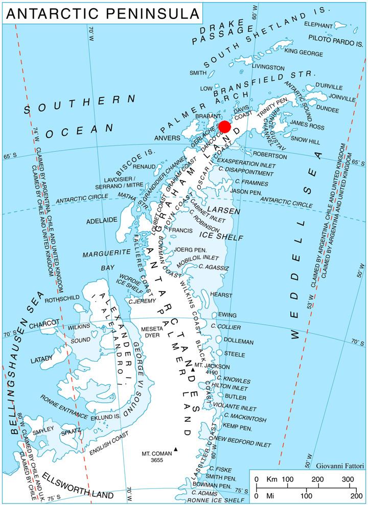
Mount Zeppelin (64°27′S 61°31′W) is a mountain, 1,265 m, standing 3 miles (4.8 km) southeast of Eckener Point on Pefaur (Ventimiglia) Peninsula, Danco Coast on the west coast of Graham Land. Charted by the Belgian Antarctic Expedition under Gerlache, 1897-99. Named by the United Kingdom Antarctic Place-Names Committee (UK-APC) in 1960 for Count Ferdinand von Zeppelin (1838-1917), German aeronautical engineer who perfected the large-scale rigid airship, 1894-1917.
Contents
Map of Mount Zeppelin, Antarctica
Map
References
Mount Zeppelin Wikipedia(Text) CC BY-SA