
Area 123 ha Established 1994 | Governing body CRD Parks | |
 | ||
Address Humpback Rd, Victoria, BC V9B 6B1, Canada Similar Mill Hill Regional Park Hea, Matheson Lake Regional, Mount Finlayson, Mount Macdonald, Mount Work | ||
Mount Wells is a regional park located northwest of the township of Langford and in the nearby vicinity of Goldstream Provincial Park and the Sooke Hills Regional Park Reserve. This park is a well kept secret and it is a weekend getaway for birdwatchers, hikers and rock climbers.
Contents
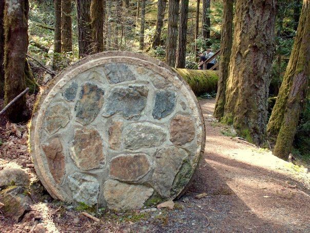
The parking lot is located at Humpback Lake, a former reservoir. The terminus of the decommissioned Sooke Flowline is also located here where the water from Sooke Lake would empty.
HikingEdit
The park features one trail which leads to the 352 m (1,155 ft) summit. This steep 1.3 km (0.81 mi) trail takes about 45 minutes to reach the summit. The reward is a panoramic view of the region. Across the valley stands Mount McDonald in the Sooke Hills Regional Park Reserve. This mountain also has a trail of comparable difficulty but CRD Parks policy discourages hiking there at this time.
Rock ClimbingEdit
The side of the mountain facing the Humpback Valley is a popular climbing destination due to its steep cliffs. On a hot summer day, numerous vehicles can be seen parked along Humpback Road where climbers follow various deer trails to the cliffs.