
Easiest route Scramble, class 2 Prominence 134 m Parent range Sierra Nevada | Elevation 3,725 m Mountain range Sierra Nevada | |
 | ||
Similar Black Kaweah, Table Mountain, Milestone Mountain, Triple Divide Peak, Florence Peak | ||
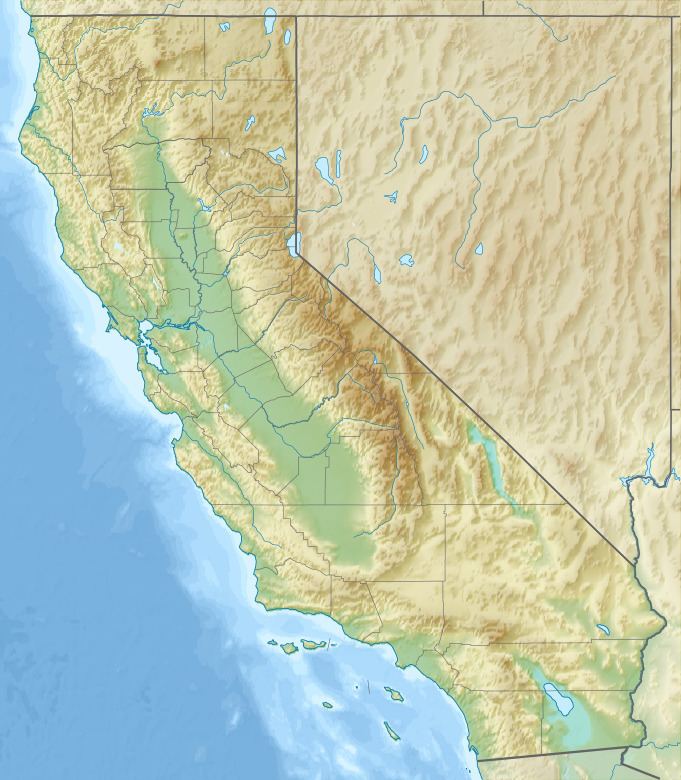
Mount Stewart is on the Great Western Divide, a sub-range of the Sierra Nevada in California. It is located in Sequoia National Park, 2.1 miles (3.4 km) southeast of Triple Divide Peak and 2.7 miles (4.3 km) northwest of Black Kaweah. The High Sierra Trail traverses Kaweah Gap south of the summit and Lilliput Glacier is on the mountain's northern flank.
Map of Mt Stewart, California 93262, USA
The mountain is named for George W. Stewart, editor of Visalia Delta, was the leader of a campaign to protect the "Big Trees". Francis P. Farquhar, author and former president of the Sierra Club. credits Stewart as "the father" of Sequoia National Park.
References
Mount Stewart (California) Wikipedia(Text) CC BY-SA