
Parent range Sierra Nevada Country United States of America | Range Sierra Nevada | |
 | ||
Elevation 13,807 ft (4,208 m) NAVD 88 Mountains Similar Sierra Nevada, Moro Rock, Kaweah Gap, Kaweah Peaks Ridge, Alta Peak | ||
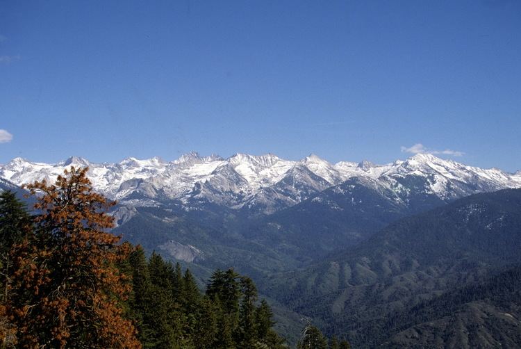
Great western divide july 2014
The Great Western Divide is a Sierra Nevada mountain range that forms part of the border between the Kings Canyon and Sequoia National Parks. Some of the summits of the Great Western Divide reach well over 13,000 feet (3,962 m). The High Sierra Trail crosses the range at Kaweah Gap from Sequoia National Park.
Contents
- Great western divide july 2014
- Map of Great Western Divide California USA
- Milestone pass on the great western divide
- References
Map of Great Western Divide, California, USA
The divide separates the watersheds of the Kaweah, Kern and Kings rivers. The divide includes the Kings–Kern Divide and the Kaweah Peaks Ridge.
Milestone pass on the great western divide
References
Great Western Divide Wikipedia(Text) CC BY-SA