
Listing SPS Mountaineers peak Elevation 2,771 m Easiest route Rock climbing | Topo map USGS Half Dome Prominence 308 m Mountain range Sierra Nevada Parent range Sierra Nevada | |
 | ||
First ascent August 1876 by George Bailey and E. S. Schuyler via Northeast Side, class 5.2 Similar Mount Clark, Liberty Cap, Clouds Rest, Basket Dome, Mount Hoffmann | ||
Mount Starr King is a symmetrical granite dome in Yosemite National Park, whose highest point is 9,096 feet (2,772 m) above sea level.
Map of Mt Starr King, California, USA
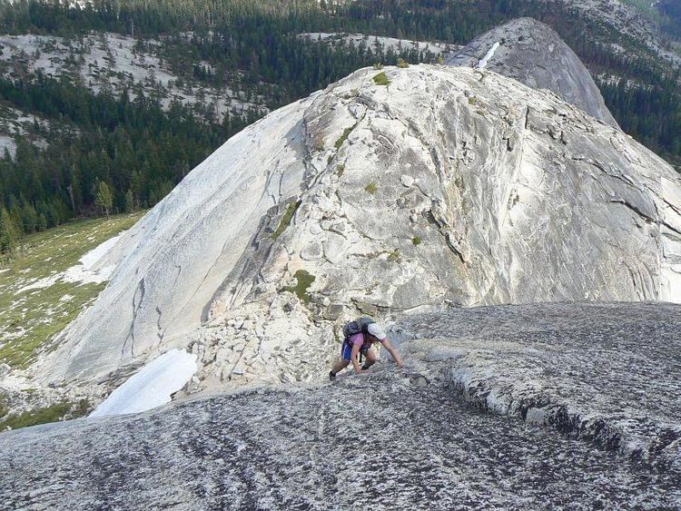
Climbing Starr King's dome requires technical skills or equipment, and the easiest routes are rated low class 5 in the Yosemite Decimal System.
It was named for Thomas Starr King, a Unitarian preacher and political activist. It has historically been known by various names including Kings Peak, See-wah-lam, South Dome, and Tis-sa-ack.
References
Mount Starr King (California) Wikipedia(Text) CC BY-SA