
 | ||
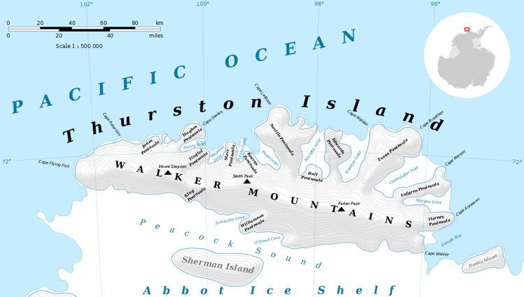
Mount Simpson (72°8′S 100°32′W) is a peak of the Walker Mountains, rising just west of the head of Hale Glacier on Thurston Island. It was first mapped from air photos taken by U.S. Navy Operation Highjump in December 1946. It was named by the Advisory Committee on Antarctic Names (US-ACAN) for Lieutenant B.L. Simpson, Jr., of U.S. Navy Squadron VX-6, a pilot of the P2V Neptune airplane which took additional air photos of the area in January 1960.
Contents
Map of Mount Simpson, Antarctica
Maps
This article incorporates public domain material from the United States Geological Survey document "Mount Simpson" (content from the Geographic Names Information System).
References
Mount Simpson Wikipedia(Text) CC BY-SA