
Elevation 2,460 m | ||
 | ||
People also search for Mount Anderson, Mount Farrell, Mount Tyree | ||
Mount Segers (78°25′S 85°21′W) is a mountain at the south extremity of Sullivan Heights in the Sentinel Range, Ellsworth Mountains in Antarctica, separated from Vinson Massif to the southwest by Vranya Pass. It is situated 11 km (7 mi) east of Mount Tyree, on the east side of the head of Crosswell Glacier and surmounting Hinkley Glacier to the southeast.
Contents
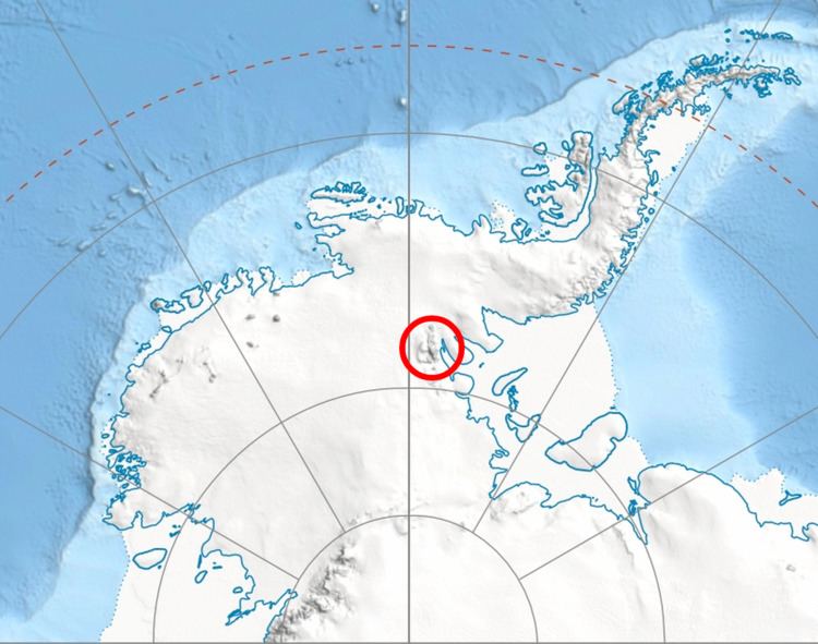
Map of Mount Segers, Antarctica
The peak was discovered by US Navy Squadron VX-6 on photographic flights of Dec. 14-15, 1959, and mapped by USGS from these photos. Named by US-ACAN for Chester W. Segers, a Navy cook and a member of the first wintering party at the South Pole Station during the IGY in 1957.
Maps
References
Mount Segers Wikipedia(Text) CC BY-SA