
Time zone CST (UTC-6) Local time Monday 12:57 AM | Neighbourhood Mount Royal | |
 | ||
Weather -1°C, Wind SW at 19 km/h, 76% Humidity Restaurants Mogul Divaan, H67 Donair and Pizza, Swadesh Restaurant, Mount Royal Restaurant, Cheeseto Restaurant | ||
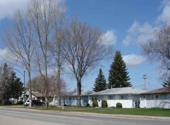
Mount Royal is a neighbourhood on the westside of Saskatoon, Saskatchewan in the Confederation SDA. Having a population of 4.259 residents, the neighbourhood consists of 3 elementary schools and 2 sister secondary schools.
Contents
Map of Mount Royal, Saskatoon, SK, Canada
Demographics
The population in 2006 of the Mount Royal subdivision was 4,259 residents. The families average 2.3 people in size with an average income of $44,120. On average 55.3% of the residents here own their own home worth on average $131,071. According to MLS data, the average sale price of a home as of 2013 was $251,065.
Education
Public services
Saskatoon light and power provides electrical service to all Saskatoon neighbourhoods which existed after 1958 and lie roughly within the boundaries of Circle Drive. Water is treated and supplied by the City of Saskatoon Water and Wastewater Treatment Branch. There are health professional offices in the central business district, such as physician, dentist, and optometric services. The three Saskatoon hospitals are located in other nearby neighbourhoods. St. Paul's Hospital is located in Pleasant Hill, Royal University Hospital is located in the University of Saskatchewan Land Management area, and Saskatoon City Hospital is located in City Park. The Northwest Division oversees the neighbourhoods on Saskatoon's west side surrounding the Central Division. The Mount Royal subdivision is served by the City of Saskatoon Saskatoon Fire & Protective Services. Saskatoon Transit Route 5 (McCormack/City Center) goes down Rusholme Rd.