
Elevation 2,716 m | ||
 | ||
Similar Mount Rose Ski Tahoe, Slide Mountain, Brockway Summit Tahoe Ri, Spooner Summit, Davis Creek Regional | ||
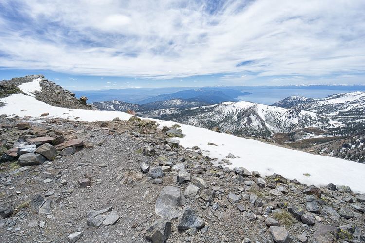
Mount rose summit summer 2016
Mount Rose Summit is a mountain pass located in the Carson Range near Mount Rose and Slide Mountain northeast of Incline Village. The 8,911 ft (2,716 m)-high pass is traversed by State Route 431, which is the highest point of the highway and the highest mountain pass open year-round in the Sierra Nevada. The saddle itself features a parking lot and a small building which both serve as a highway stop. A closed dirt road leading to the Mount Rose Ski Resort ends near the northern section of the summit.
Contents
- Mount rose summit summer 2016
- Map of Mt Rose Summit Nevada 89704 USA
- Mount rose summit wilderness reno nevada lake tahoe mountain mojo climbing snow hiking trail running
- References
Map of Mt Rose Summit, Nevada 89704, USA
Mount rose summit wilderness reno nevada lake tahoe mountain mojo climbing snow hiking trail running
References
Mount Rose Summit Wikipedia(Text) CC BY-SA