
Elevation 1,123 m Parent range West Coast Range | Mountain range West Coast Range | |
 | ||
Location West Coast, Tasmania, Australia Similar Mount Lyell, Mount Murchison, Mount Jukes, Mount Sedgwick, Mount Heemskirk | ||
Mount Read is a mountain located in the West Coast region of Tasmania, Australia, and is at the north west edge of the West Coast Range.
Contents
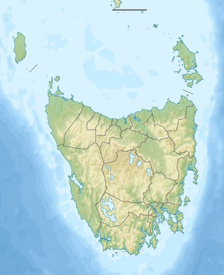
- Map of Mount Read Rosebery TAS 7470 Australia
- Geology
- Hercules Haulage
- Mount Read localitycommunity
- Huon Pine
- Climate
- References
Map of Mount Read, Rosebery TAS 7470, Australia
With an elevation of 1,123 metres (3,684 ft) above sea level, Mount Read has had as colourful a history, similar to that of Mount Lyell, with mines, settlements and other activities on its slopes for over a hundred years.
Geology
The main copper and gold ore bearing deposits in the West Coast Range are known as occurring in the 'Mount Read Volcanics' relating to the complex geology of the area.
Mineralisation and deposits were being identified well beyond the life of the original mines utilised on Mount Read
To the south east of Mount Read are many features of glaciation in the Tyndall Range as well as glacial lakes of Lake Westwood, Lake Selina, and Lake Julia.
Hercules Haulage
The Hercules Mine on Mount Read was connected by a 1,642-foot (500 m) haulage incline to Williamsford and then to the North East Dundas Tramway. The haulage was self-acting and 1-mile (1.6 km) long and 1,642 feet (500 m) high with a maximum gradient of 1 in 5.
The mine was in production in the late nineteenth century. It had a major strike in 1906 The mine produced well into the mid twentieth century The mine site had ceased operation and was subject to cleanup processes in the early 2000s.
The Hercules Gold and Silver Mining Company was an operating company that ceased in 1916. The Mount Read and Rosebery Mines Limited started as an ex-Mount Lyell offshoot, absorbed by EZ by 1925.
Mount Read locality/community
The community surrounding the Hercules minesite had various struggles for services and facilities
Huon Pine
Also, despite extensive historic mining and human activity on its slopes, Mount Read has unique and significant stands of Huon Pine forests on its slopes. The southern slopes of Mount Read have been identified as a special habitat enclosed in the Lake Johnston Nature Reserve.
Climate
Mount Read has a subpolar oceanic climate, closely bordering the tundra climate (ET). It currently has a Bureau of Meteorology automatic weather station in place, and it scores well in extreme weather conditions. Its extreme rainfall records for Autumn 2006 put it on a par with the Lake Margaret rainfall - which was still apparently recorded till 30 June 2006 by Hydro employees, but not appearing on the BOM website.