
Country United States Time zone Central (CST) (UTC-6) Zip code 38474 Population 4,654 (2013) | Elevation 676 ft (206 m) Area code(s) 931 Local time Monday 1:07 AM | |
 | ||
Weather 8°C, Wind W at 0 km/h, 88% Humidity Points of interest Mt Pleasant-Maury Phosphate, St. John's Episcopal Church, Rattle and Snap | ||
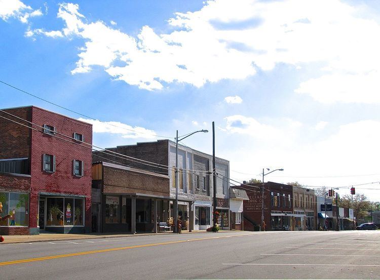
Mount Pleasant is a city in Maury County, Tennessee, United States. Mount Pleasant is the birthplace of Confederate Sam R. Watkins and formerly titled "The Phosphate Capital of the World." The population was 4,561 at the 2010 census, up from 4,491 in 2000.
Contents
- Map of Mt Pleasant TN USA
- History
- Geography
- Demographics
- City Manager
- City Mayor
- City Commission
- Chief of Police
- Fire Chief
- Assistant Fire Chief
- Police department
- Fire department
- Transportation
- References
Map of Mt Pleasant, TN, USA
History
Settlement of Mount Pleasant began in the early 1800s, and increased following the construction of the Military Road connecting Nashville and Madisonville, Louisiana, in 1817. By the time Mount Pleasant incorporated as a city in 1824, it was home to a store, tavern, and several churches.
In 1895, brown phosphate rock was discovered in Mount Pleasant, leading to a mining boom, and giving the city its nickname. Within a few years, ten phosphate mining companies were operating in Mount Pleasant, producing over 25,000 tons per year. The city's population grew from 466 in 1890 to 2,007 in 1900. Phosphate mining remained a major part of the city's economy into the latter half of the 20th century.
Geography
Mount Pleasant is located at 35°32′42″N 87°11′55″W (35.544977, -87.198683). According to the United States Census Bureau, the city has a total area of 11.1 square miles (29 km2), of which 11.1 square miles (29 km2) is land and 0.04 square miles (0.10 km2) (0.18%) is water. Mount Pleasant is situated in a relatively broad plain surrounded by low hills to the east, south, and west. U.S. Route 43 connects the city with Columbia to the northeast and Lawrenceburg to the south.
Demographics
As of the census of 2000, there were 4,491 people, 1,815 households, and 1,232 families residing in the city. The population density was 406.5 people per square mile (156.9/km²). There were 2,008 housing units at an average density of 181.8 per square mile (70.2/km²). The racial makeup of the city was 75.02% White, 23.45% African American, 0.33% Native American, 0.11% Asian, 0.02% Pacific Islander, 0.24% from other races, and 0.82% from two or more races. Hispanic or Latino of any race were 0.87% of the population.
There were 1,815 households out of which 33.3% had children under the age of 18 living with them, 44.6% were married couples living together, 19.2% had a female householder with no husband present, and 32.1% were non-families. 28.7% of all households were made up of individuals and 13.7% had someone living alone who was 65 years of age or older. The average household size was 2.43 and the average family size was 2.97.
In the city, the population was spread out with 26.4% under the age of 18, 8.0% from 18 to 24, 28.2% from 25 to 44, 22.0% from 45 to 64, and 15.4% who were 65 years of age or older. The median age was 37 years. For every 100 females there were 82.8 males. For every 100 females age 18 and over, there were 75.2 males.
The median income for a household in the city was $32,004, and the median income for a family was $36,949. Males had a median income of $31,285 versus $22,599 for females. The per capita income for the city was $16,345. About 14.9% of families and 18.5% of the population were below the poverty line, including 27.6% of those under age 18 and 14.1% of those age 65 or over.
City Manager
City Mayor
City Commission
Chief of Police
Fire Chief
1988-2001: M. H. "Cotton" Massey 2001–Present: Tim Smith
=Assistant Fire Chief
1988-2001: Tim Smith 2014–Present: Phillip Grooms
Police department
The Mount Pleasant Police Department was established in 1824.
Fire department
The Mount Pleasant Fire Department is a career fire department consisting of full-time and part time firefighters. The fire department was established in 1824.
Transportation
Mount Pleasant is located on Tennessee State Route 243 and Tennessee State Route 166.
Mount Pleasant is also home to the Maury County Regional Airport.