
 | ||
Mount Pleasant is a historic community located within the southeastern range of Mansfield Township and the northeastern range of Springfield Township, Burlington County, New Jersey. Mount Pleasant encompasses the intersection of Mount Pleasant Road (running east-west) and Gaunt's Bridge Road (running north-south), 40°3′56″N 74°40′4″W. The intersection is located about three miles (5 km) east of Columbus and one mile (1.7 km) south of Georgetown.
Contents
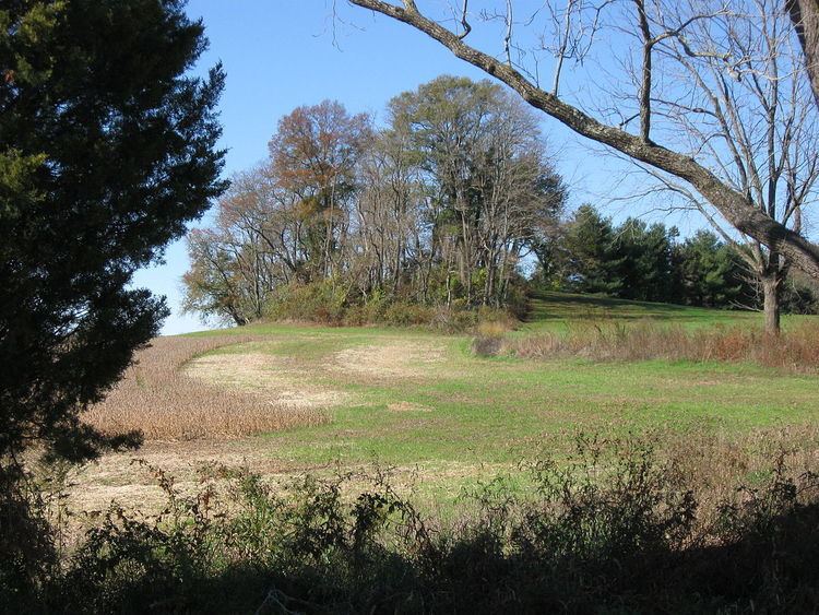
Mount Pleasant was named for the area's most conspicuous landmark: a small hill tapering to a pointed peak. Mount Pleasant hill is wooded and it is located in a cultivated farm field in the southwest quadrant of the intersection. A low, wooded ridge runs for about one mile (1.7 km) from the west side of the hill along the south side of Mount Pleasant Road toward Skunk Island Road. South of the ridge and Mount Pleasant Road lies an expansive meadowland that encompasses Assiscunk Creek, the township's southern border. The meadowland was called Ye Great Meadow during the 17th and 18th centuries. North of the ridge and Mount Pleasant Road lie cultivated farm fields that encompass Crafts Creek.
Early history
Mount Pleasant was settled by Quakers during the latter part of the 17th century. In 1688, Mansfield Township was established and its borders were published:
"The Constabulary of Mansfield to lye on ye south side of William Black's Creek, down Delaware River to the town bounds of Burlington, and soe up Birch Creek to John Pancoast's, to Michael Newbold's, and soe ye north of ye Great Meadow to Eliakim Higgins' plantation."
In 1699, Caleb Shreve purchased Mount Pleasant hill, and 325 acres (1.32 km2) of land encompassing it, from Richard and Sarah French. In 1725, Shreve built a brick house to the west of the hill. The east side of the home was constructed in 1742. This property, named Mount Pleasant, was the homestead of the Shreve family for many years. It is the birthplace of steamboat captain Henry Miller Shreve and may be viewed via the Internet link shown below.
The Barzilla and Sarah Newbold house was constructed in 1740 and is located in the northeast quadrant of the intersection. The house is listed on the National Register of Historic Places listings in Burlington County, New Jersey and may be viewed via the Internet link shown below.