
 | ||
Mount Peary (65°15′S 63°52′W) is a conspicuous massif, 1,900 m, with a flat, snow-covered summit several miles in extent, surmounted by a marginal peak on the west, standing 7 nautical miles (13 km) east-northeast of Cape Tuxen and dominating the area between Wiggins and Bussey Glaciers on Kiev Peninsula in Graham Land. Discovered by the French Antarctic Expedition, 1908–10, under Charcot and named by him for R. Admiral Robert E. Peary, U.S. Navy, American Arctic explorer and first to attain the North Pole, in 1909.
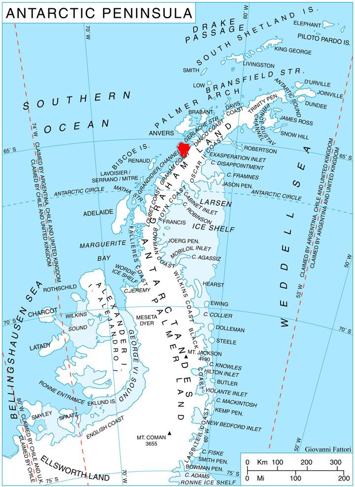
Map of Mount Peary, Antarctica
References
Mount Peary Wikipedia(Text) CC BY-SA