
Isolation 524 km (326 mi) Mountain type Dolerite Prominence 1,617 m | Listing UltraState high point Elevation 1,617 m Mountain range Du Cane Range | |
 | ||
Similar Barn Bluff, Mount Pelion East, Mount Pelion West, Cradle Mountain, The Acropolis | ||
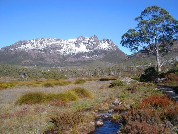
Mount Ossa is a mountain of the Pelion Range located in the Central Highlands region of Tasmania, Australia.
Contents
Map of Mount Ossa, Cradle Mountain TAS 7306, Australia
With an elevation of 1,617 metres (5,305 ft) above sea level, Mount Ossa is the highest peak in Tasmania. The mount lies in the heart of Cradle Mountain-Lake St Clair National Park.
The entire mountain is composed of Jurassic dolerite and the peak is named after Mount Ossa in Greece, which features in Greek mythology.
Ascending
The peak is fairly remote from the nearest road, with more than a day's walk for most parties from the Overland Track. The ascent involves not much rock climbing but at one point there is a need for rock climbing and there is a well-marked track to the summit. Conditions can be very severe in winter, with powerful winds and freezing temperatures. A short scramble is required to ascend the summit.
The lower slopes are bushy but towards the summit the rocks are mostly bare. The walk to the summit from Pelion Gap during summer usually features an array of beautiful wild flowers common in the area.