
 | ||
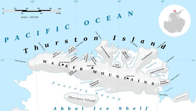
Mount Noxon (72°11′S 99°56′W) is a peak of the Walker Mountains, rising at the head of Myers Glacier on Thurston Island. It was delineated from air photos taken by U.S. Navy Operation Highjump in December 1946. It was named by the Advisory Committee on Antarctic Names (US-ACAN) for Sergeant W.C. Noxon of the United States Marine Corps (USMC) who served as navigator on aerial photographic flights over this area by U.S. Navy Squadron VX-6 in January 1960.
Contents
Map of Mount Noxon, Antarctica
Maps
This article incorporates public domain material from the United States Geological Survey document "Mount Noxon" (content from the Geographic Names Information System).
References
Mount Noxon Wikipedia(Text) CC BY-SA