
Population 2,983 (2011 census) Postal code 6112 | Postcode(s) 6112 Area 2.8 km² | |
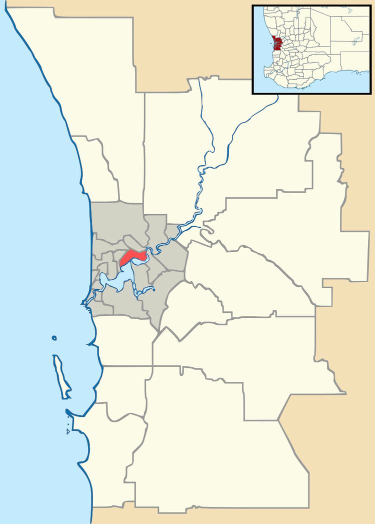 | ||
Location 26 km (16 mi) from Perth2 km (1 mi) from Armadale | ||
Mount Nasura is a suburb of Perth, Western Australia, located within the City of Armadale. The suburb occupies hilly terrain bounded on the north by the Brookton Highway and Hill Street (1.6 km), west by Paterson Road 1.1 km), south-west by Canns and Carradine Roads (1.6 km), south by property boundaries on the north side of the Neerigin Brook (0.3 km), and east by the Albany Highway (2.7m). With the exception of the Armadale Kelmscott District Memorial Hospital, the suburb is primarily residential.
Contents
Map of Mount Nasura WA 6112, Australia
History
The suburb takes its name from a vineyard, named the Derry NaSura (meaning "valley of the vines"), which formerly occupied the hillside above the Albany Highway just north of the Narrogin Inn. This vineyard was established in the early 1890s by a partnership of Martin E. Jull, then Chief Clerk of the Railway Construction Department, and Dr J . M. Fergusson-Stewart. In 1896, Fergusson-Stewart's share was bought out by Sir Arthur Stepney, an English Baronet, and for a time the vineyard was known as the Stepney Jull Armadale Vineyard. Jull sold out to Sir Arthur in 1899. Under Sir Arthur's ownership, the vineyard was significantly expanded and renamed the 'Derry NaSura Vineyard'. Sir Arthur also developed an extensive orchard alongside the vineyard, and in 1904 erected a substantial cellar building which was a landmark on the hillside above the infant township. In the early years of the 20th Century, the vineyard was one of Armadale's leading industries along with the Armadale Brickworks.
When Sir Arthur died in 1909, the vineyard was taken over by Messrs H.C.Sewell and C.Crocker who continued to invest in the development of this enterprise. In 1946 the vineyard was purchased by Messrs G.Hack and W.Clowes, and at that time comprised 268 acres of which 100 acres were planted with vines.
Vines were removed in the 1950s and some time later the redundant cellars were demolished. The property was purchased by a private syndicate and in 1966 it was rezoned for residential subdivision. In the decades that followed the distinctively terraced hillside was gradually covered by suburban housing.
During the 1980s and 1990s, residents successfully campaigned to have the name of the area changed from Armadale to Mount Nasura.