
 | ||
Mount Murray is a hill (height 222 metres) in the Isle of Man, often referred to simply as The Mount. It is located at the northern end of Santon, near the boundaries with Marown and Braddan parishes. Mount Murray is home to the Chibbanagh Plantation and nine of the eighteen holes of the Mount Murray Golf Club.
Contents
Map of Mount Murray IM4 2HT, Isle of Man
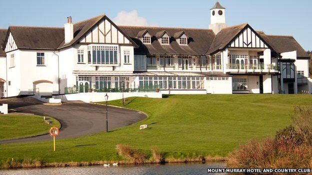
Today, a hotel, golf and country club has been built in the grounds of what was the estate of Mount Murray. It was built under a 'tourism' approval and formed the centre of several investigations into why people were purchasing and living in the houses. The suggestion that "something was not right" was finally quashed, but only after some £1 million was spent on the investigations.
The hill was originally known as Ais Hólt, meaning Holt's Hill, and giving rise to derivations of the name: Ash hole (1703), Ashold (1734) and Ashole (1739). Several families of the latter name lived in the Castletown area in the 16th century. It was a Norse surname and is still found in Kildare and Wicklow, Ireland.
Landscape and archaeologyEdit
Close by are The Broogh Fort (54°08′09″N 4°34′39″W) and also The Braaid.
The Graveyard, the fifth fairway of the Mount Murray golf course, is on the site of a prehistoric burial ground. The burial ground became the site of a keeill built sometime after the 9th century, and the area later became known as Speke Farm. The keeill and some of the surrounding burials were excavated in 2006 by archaeological television programme Time Team.