
Last eruption unknown Prominence 1,530 m | Elevation 4,127 m Listing Ultra-prominent peak | |
 | ||
Similar Mount Gahinga, Mount Sabyinyo, Mount Bisoke, Mount Karisimbi, Mount Nyiragongo | ||
Scaling the heights of mighty mount muhabura
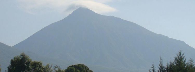
Mount Muhabura, also known as Mount Muhavura, is an extinct volcano in the Virunga Mountains on the border between Rwanda and Uganda. At 4,127 metres (13,540 ft) Muhabura is the third highest of the eight major mountains of the mountain range, which is a part of the Albertine Rift, the western branch of the East African Rift. Muhabura is partly in the Volcanoes National Park, Rwanda and partly in the Mgahinga Gorilla National Park, Uganda.
Contents
Map of Muhavura Volcano, Uganda
The name Muhabura means "The Guide" in the local language, Kinyarwanda.
It can be seen from many parts of Uganda and Rwanda because of its slope.
References
Mount Muhabura Wikipedia(Text) CC BY-SA