
Country United States Time zone Eastern (EST) (UTC-5) Elevation 286 m Population 737 (2010) | ZIP code 15349 Area 6.95 km² Area code Area code 724 | |
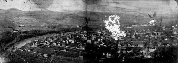 | ||
Mount Morris is an unincorporated community and census-designated place (CDP) in Greene County, Pennsylvania, United States. It is located in Perry Township, near I-79. As of the 2010 census the population was 737.
Contents
Map of Mt Morris, PA 15349, USA
Geography
Mount Morris is located at 39°43′59″N 80°04′04″W (39.733135, -80.067842), on Interstate 79 near the West Virginia state line. Its elevation is 938 feet (286 m) above sea level. According to the U.S. Census Bureau, the CDP has a total area of 2.68 square miles (6.95 km2), of which 0.01 square miles (0.02 km2), or 0.27%, are water.
Places of interest
High Point Raceway, a motocross track, is located 4 miles (6 km) east of Mount Morris. The track hosts races in the AMA Motocross Championships series, including the High Point Nationals held each Memorial Day weekend.