
Last eruption 1905 - 1911 | Elevation 575 m | |
 | ||
Location Savai'i Island in Samoa Similar Alofaaga Blowholes, Afu Aau Falls, Pulemelei Mound, Upolu, Aganoa Beach | ||
Sounds from mount matavanu crater savaii island samoa
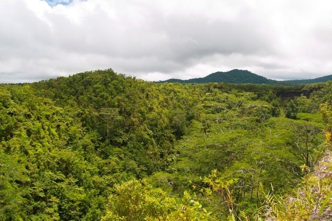
Mt Matavanu is an active volcano on the island of Savai'i in Samoa.
Contents
Map of Mount Matavanu, Samoa
The most recent eruptions from Matavanu occurred between 1905 - 1911 with lava flows on its northern side flowing towards the island's coastline and into the sea in the district of Gaga'emauga.
The eruptions began 4 August 1905 and stopped in November 1911. The lava flowed over 40 square miles (100 km2) of countryside to the lagoon and reef, destroying villages in its path between Samalae'ulu to the east and Saleaula to the west. The depth of the lava flow in some parts was 400 feet.
Due to the destruction of their homes by the seaside, some of the villages relocated further inland by the main island road.
The lava fields can still be seen today, especially in Saleaula as well as the picturesque village of Mauga where the houses or fale are situated around a small volcanic crater.
There are church ruins as well a 'Virgin's Grave', the burial place of a girl where the molten lava flowed around rather than over it.
Other volcanoes on Savai'i include Mata o le Afi and Mauga Afi.
The island of Savai'i is an active shield volcano. Its highest peak is Mt Silisili.
Mythology
In Samoan mythology the god of earthquakes is Mafui'e. Another mythical figure Ti'iti'i tricked the earthquake god so that Samoans could have fire to cook their food.