
Prominence 2,116 m (6,942 ft) Elevation 2,891 m Mountain range Barisan Mountains Parent range Barisan Mountains | Mountain type Complex volcano Last eruption 2004 Province West Sumatra | |
 | ||
Listing Ultra-prominent peak, Ribu Similar Mount Singgalang, Mount Talang, Mount Tandikat, Mount Talakmau, Mount Kerinci | ||
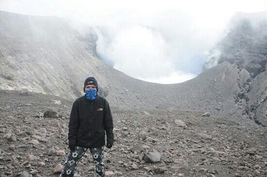
Marapi (also known as Merapi or Berapi) is a complex volcano in West Sumatra, Indonesia. Its name means Mountain of Fire, and it is the most active volcano in Sumatra. Its elevation is 2,891.3 metres (9,485.9 ft). A number of cities and towns are situated around the mountain, including Bukittinggi, Padang Panjang and Batusangkar.
Map of Mount Marapi, Pasie Laweh, Tarab River, Tanah Datar Regency, West Sumatra, Indonesia
According to legend, the mountain is the site first settled by the Minangkabau people after their ship landed on the mountain when it was the size of an egg and surrounded by water. There are large numbers of upright burial stones in the region which are oriented in the direction of the mountain, indicating its cultural significance.
Since August 3, 2011 Alert Level has been established by Center of Vulcanology and Mitigation Geology Disaster.