
 | ||
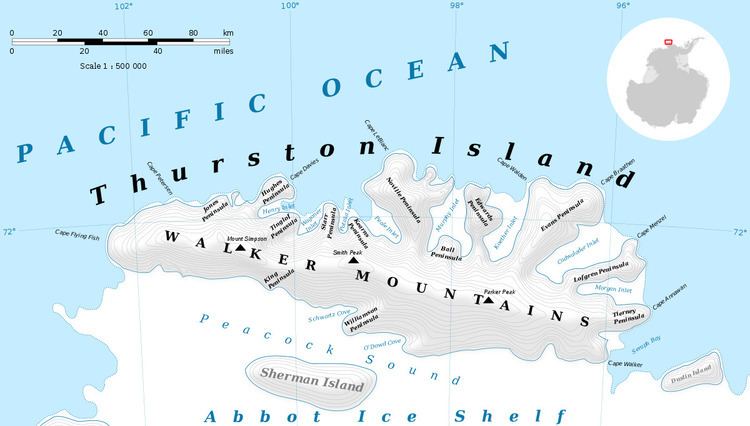
Mount Lopez (72°0′S 101°41′W) is a peak of the Walker Mountains, located 5 nautical miles (9 km) east of Landfall Peak in the western part of Thurston Island, Antarctica. It was delineated from aerial photographs taken by U.S. Navy Operation Highjump, 1946–47, and was named by the Advisory Committee on Antarctic Names for Ensign Maxwell A. Lopez of the U.S. Navy, a member of the expedition who lost his life in a seaplane crash at Thurston Island on December 30, 1946.
Contents
Map of Mount Lopez, Antarctica
Maps
References
Mount Lopez Wikipedia(Text) CC BY-SA