
 | ||
People also search for Mount Anderson, Mount Farrell, Mount Tyree | ||
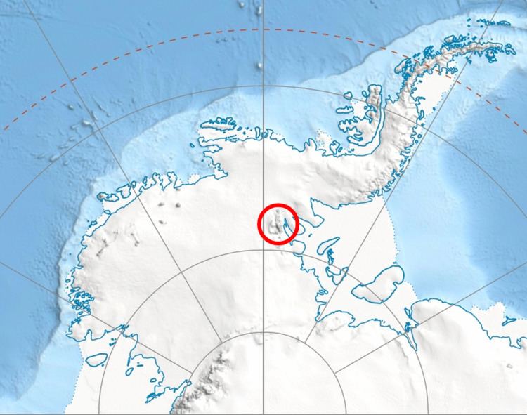
Mount Liptak (78°45′S 84°54′W) is a mountain, 3,052 metres (10,013 ft) high with twin summits, located 7 nautical miles (13 km) southeast of Mount Craddock in the Sentinel Range of the Ellsworth Mountains in Antarctica. It surmounts Bolgrad Glacier to the west and Kornicker Glacier to the east.
Contents
Map of Mount Liptak, Antarctica
It was first mapped by the United States Geological Survey from surveys and U.S. Navy air photos from 1957–59, and was named by the Advisory Committee on Antarctic Names for L.H. Liptak, an aviation machinist mate in the U.S. Navy who served as plane captain on the first reconnaissance flights to this vicinity in January 1958.
Mount Liptak was first successfully climbed on December 28, 2012 by Pachi Ibarra, Ralf Laier and Todd Passey.
Maps
References
Mount Liptak Wikipedia(Text) CC BY-SA