
 | ||
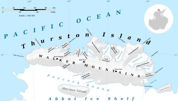
Mount Kazukaitis (72°2′S 100°55′W) is a peak of the Walker Mountains, located at the base of Hughes Peninsula in the western part of Thurston Island, Antarctica. It was delineated from air photos taken by U.S. Navy Operation Highjump in December 1946. It was named by the Advisory Committee on Antarctic Names for Chief Photographer's Mate Frank Kazukaitis of the U.S. Navy who recorded features of the Walgreen Coast and Eights Coast on the U.S. Navy Bellingshausen Sea Expedition in February 1960. He served as photographer on several additional Operation Deep Freeze deployments to Antarctica.
Contents
Map of Mount Kazukaitis, Antarctica
Maps
References
Mount Kazukaitis Wikipedia(Text) CC BY-SA