Elevation 1,322 m | ||
 | ||
Topo map Geographical Survey Institute25000:1 徳舜瞥山50000:1 徳舜瞥山 Similar Tokushunbetsusan, Orofureyama, Mount Fuppushi, Izaridake, Mt Shiribetsu | ||
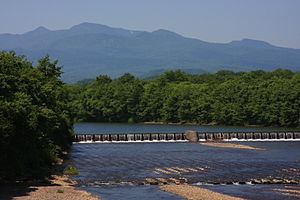
Mount Horohoro (ホロホロ山, Horohoro-yama) is a mountain in Hokkaidō. It is located on the border between Date and Shiraoi in Hokkaidō, Japan. It is the tallest mountain in the Iburi subprefecture. From the top you can see Lake Tōya, Lake Shikotsu, Mount Yōtei, Mount Eniwa, and even the outskirts of Sapporo.
Map of Mount Horohoro, Otakiku Uenocho, Date, Hokkaido Prefecture 052-0312, Japan
References
Mount Horohoro Wikipedia(Text) CC BY-SA
