
Postcode(s) 4285 | Postal code 4285 | |
 | ||
Location 46 km (29 mi) S of Beaudesert104 km (65 mi) SW of Surfers Paradise114 km (71 mi) S of Brisbane | ||
Mount Gipps is a locality in the Scenic Rim Region, Queensland, Australia. Mount Gipps is one end of the Queensland rabbit-proof fence.
Contents
Map of Mount Gipps QLD 4285, Australia
Geography
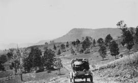
Mount Gipps has high slopes to the south (including the mountain Mount Gipps) belonging to the McPherson Range and also in the north-east with a valley through the north-west and from west to east. Running Creek, a tributary of the Logan River, flows from east to west through the locality. Mount Gipps Road enters from Chinghee Creek in the north-west and follows through the valley. Although entirely freehold land, only the lower valley areas have been cleared and are used for grazing. The slopes have an extensive tree cover.
History
In 1900, much of the land in the upper reaches of Running Creek was part of the rural property Telemon Crossing owned by A. Drynan.
There was a sawmill in Mount Gipps from at least 1920. It was located in the valley.
Mount Gipps State School was opened on 21 July 1920. It closed on 30 June 1954.