
Elevation 2,865 m | Topo map NTS 82J/02 Prominence 447 m | |
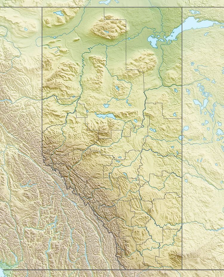 | ||
Location AlbertaBritish Columbia Mountain range Rocky Mountains, High Rock Range People also search for Mount Lyall, Beehive Mountain, Mount Cornwell | ||
Mount Gass is a mountain located on the border of Alberta and British Columbia on the Continental Divide and is part of the Rocky Mountain chain. It was named in 1928 after Gass, L.H. The mountain is 2865 m (9400 ft.) tall and has two peaks, the southernmost being the highest. In 1948, King Bearpaw, a Stoney Indian, and Bill Watt went prospecting on the mountain, specifically on the eastern peak where they had seen unusual looking rocks. They later discovered lead ore, silver, zinc, and a small amount of gold.
Map of Mount Gass, East Kootenay A, BC, Canada
References
Mount Gass Wikipedia(Text) CC BY-SA