
Topo map NTS 92/F11 Prominence 130 m | Elevation 1,950 m | |
 | ||
Similar Castlecrag Mountain, Mount Albert Edward, Jutland Mountain, Alexandra Peak, Mount Harmston | ||
Camping near mount frink in strathcona park aug 22 23 2015
Mount Frink is a plateau-like mesa on Vancouver Island, British Columbia, Canada, located 30 km (19 mi) west of Courtenay and 2 km (1 mi) southeast of Mount Albert Edward Most often Frink is climbed as part of a traverse, circumnavigating the high ridge that wraps around Moat Lake from Castlecraig Mountain to Mt. Albert Edward.
Contents
- Camping near mount frink in strathcona park aug 22 23 2015
- Map of Mount Frink Comox Strathcona C BC Canada
- References
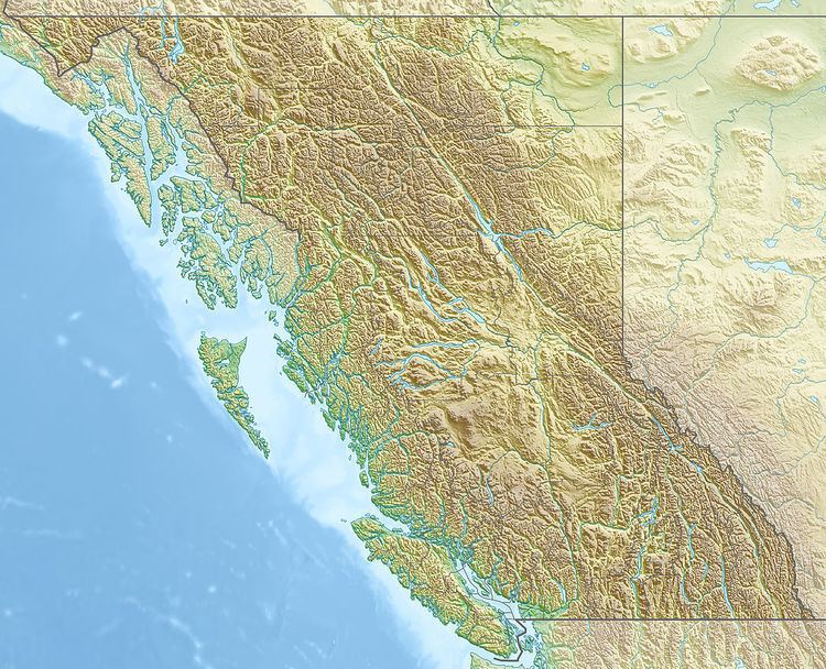
Map of Mount Frink, Comox-Strathcona C, BC, Canada
Beyond tagging the summit via the ridge traverse, the only other noteworthy route is the West face which had its first recorded ascent done in the winter of 1999/2000 over New Years by Alex and Dave Ratson. Graded at AI III (AI= Alpine ice) with a few mixed moves in the lower portion of the route.
References
Mount Frink Wikipedia(Text) CC BY-SA