
 | ||
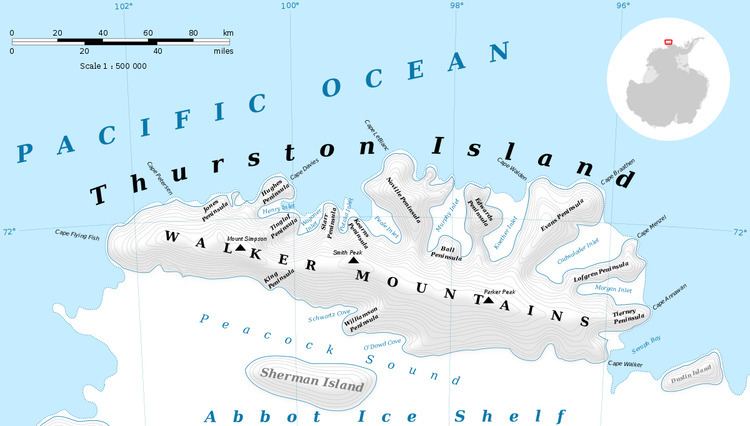
Mount Feury (71°50′S 98°19′W) is a mountain between Sikorski Glacier and Frankenfield Glacier on the northeast side of Noville Peninsula, Thurston Island. It was first delineated from air photos taken by U.S. Navy Operation Highjump in December 1946, and was named by the Advisory Committee on Antarctic Names for James Feury, a mechanic and snowmobile driver of the Byrd Antarctic Expedition, 1928–30.
Contents
Map of Mount Feury, Antarctica
Maps
References
Mount Feury Wikipedia(Text) CC BY-SA