
Prominence 461 m (1,512 ft) Mountain type Mainly sandstone Elevation 516 m Listing Marilyn | OSI/OSNI grid V334989 First ascent ancestral Easiest route Hiking | |
 | ||
Mountain range Mountains of the Dingle Peninsula Parent range Mountains of the Dingle Peninsula Similar Mullaghanattin, Baurtregaum, Knocknadobar, Fauscoum, Mullaghanish | ||
Mount Eagle (Irish: Sliabh an Iolair, meaning "eagle mountain") is a mountain in County Kerry, Ireland.
Contents
Map of Mount Eagle, Commons South, Co. Kerry, Ireland
Geography
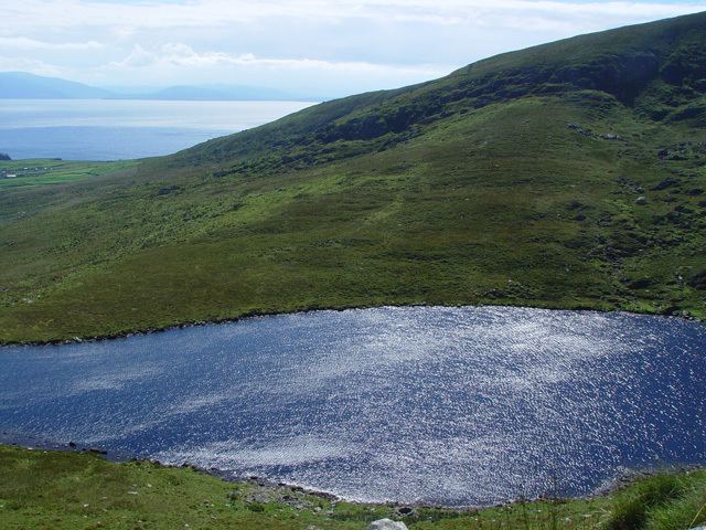
The mountain is part of Dingle peninsula and is the 419th highest in Ireland. Mount Eagle is located not faraway from Slea Head (Ceann Sléibhe), the most south-westerly point of the peninsula, and is connected with mount Brandon by a ridge of lower hills. On the mountain's top stands a trig point.
History
The mountain summit was the first European bit of land seen by Charles Lindbergh after its 1927 plane voyage across the Atlantic Ocean.
Access to the summit
Mount Eagle summit can be reached with a medium walk from Ventry Harbour. From the top of the mountain there is a good view of the neighbouring coast and the Blasket Islands.
References
Mount Eagle (Ireland) Wikipedia(Text) CC BY-SA